- Brief description
-
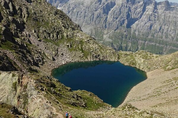
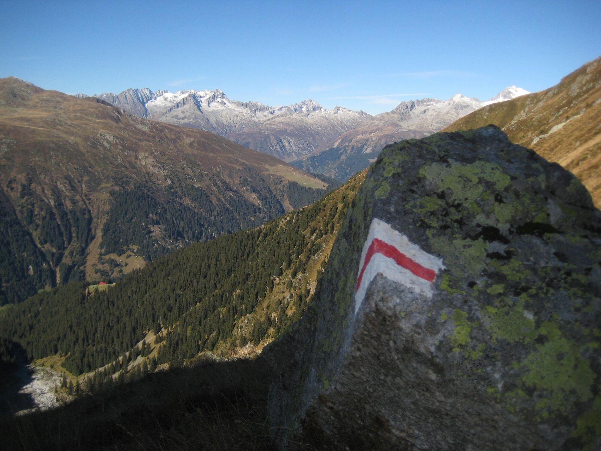
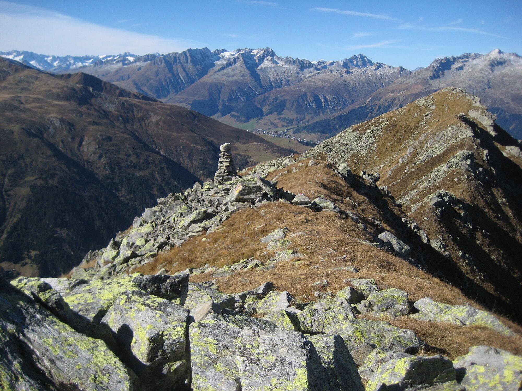
On the Piz Ault there is nothing that spoils the view of other mountains, with or without glaciers. T3
- Difficulty
-
difficult
- Rating
-
- Starting point
-
Pardé
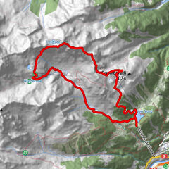
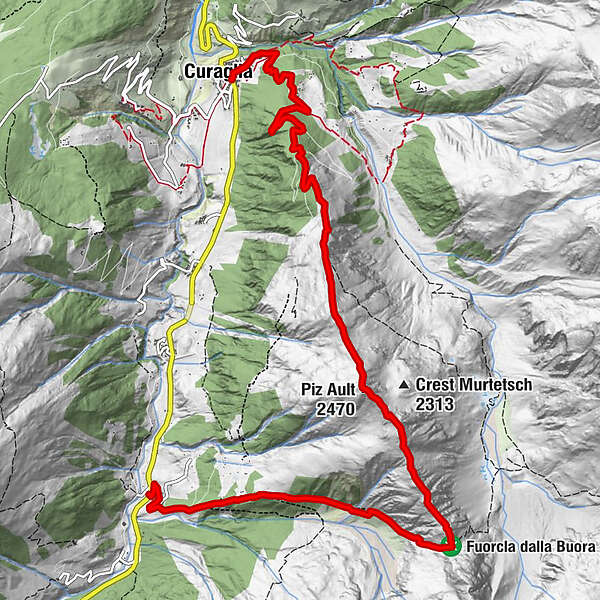
- Route
-
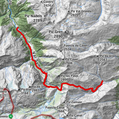
Fuorns0.4 kmPiz Ault (2,470 m)5.3 kmGliarauns9.7 kmCuraglia11.0 km
- Best season
-
JanFebMarAprMayJunJulAugSepOctNovDec
- Description
-
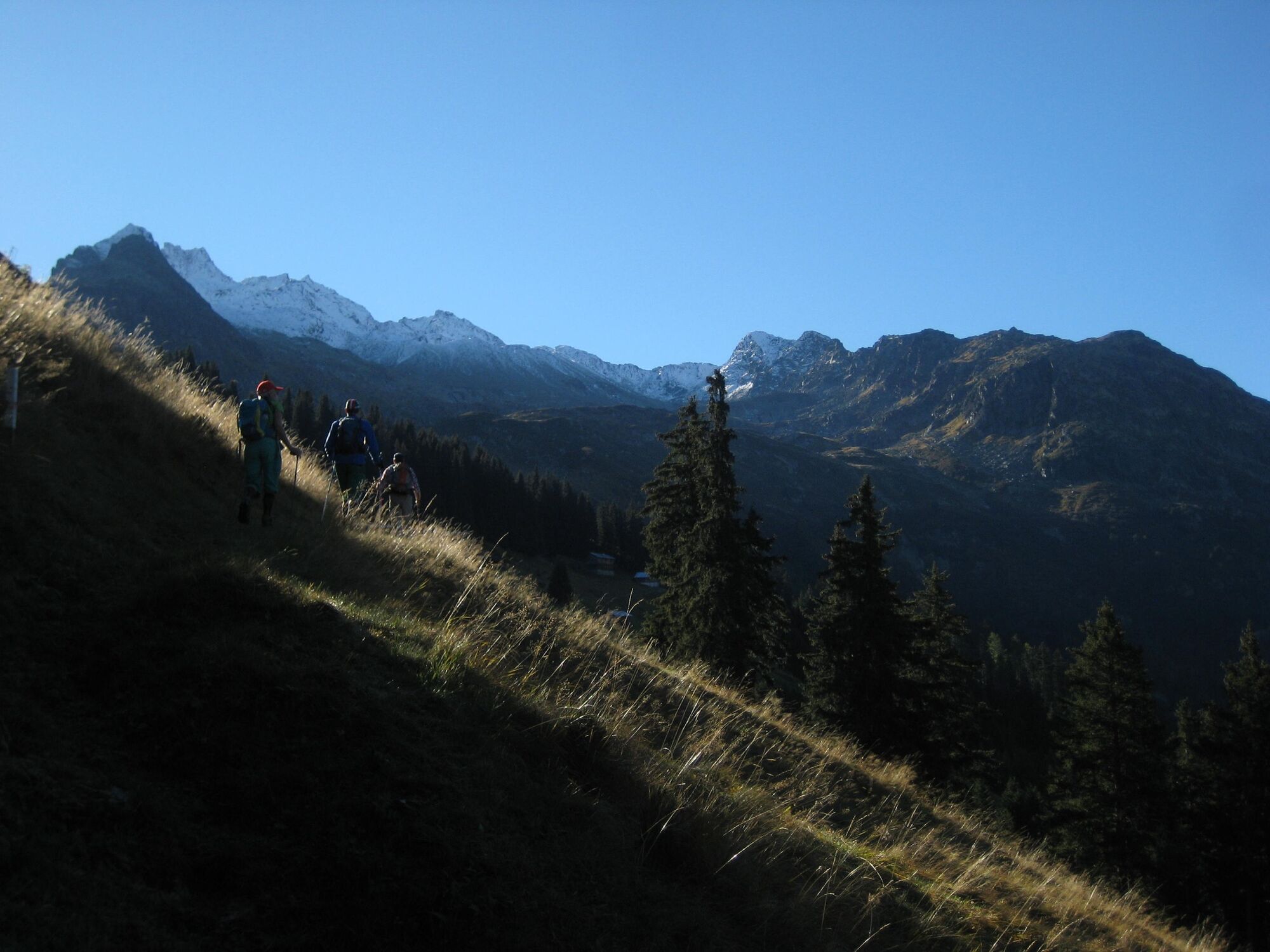
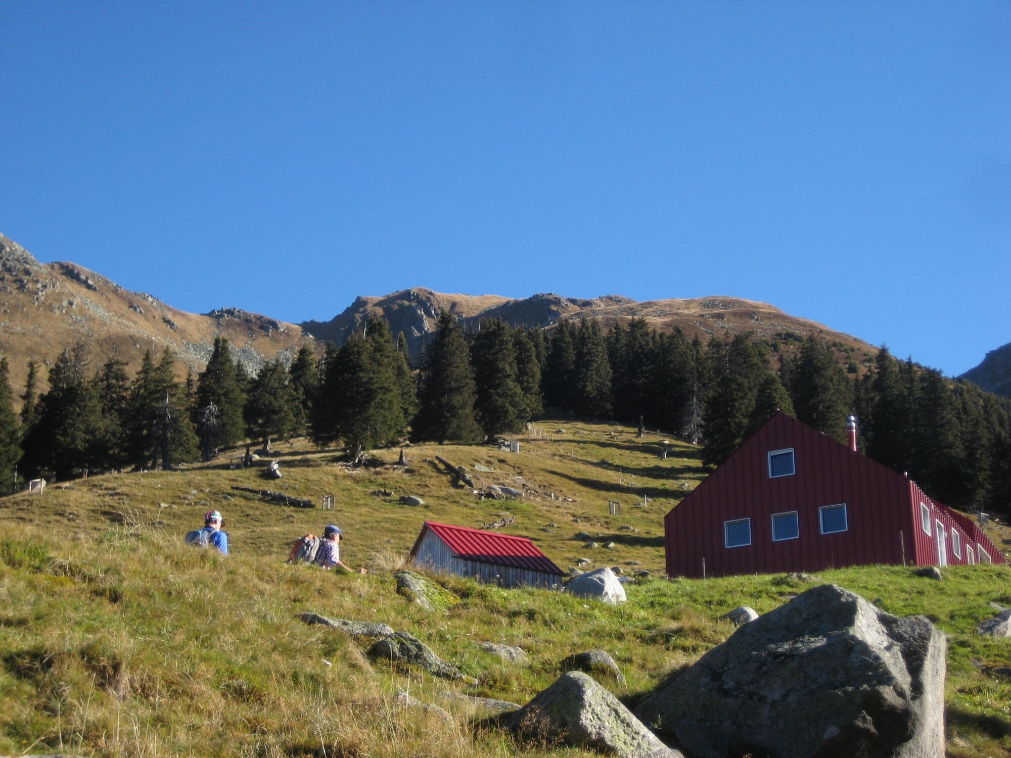
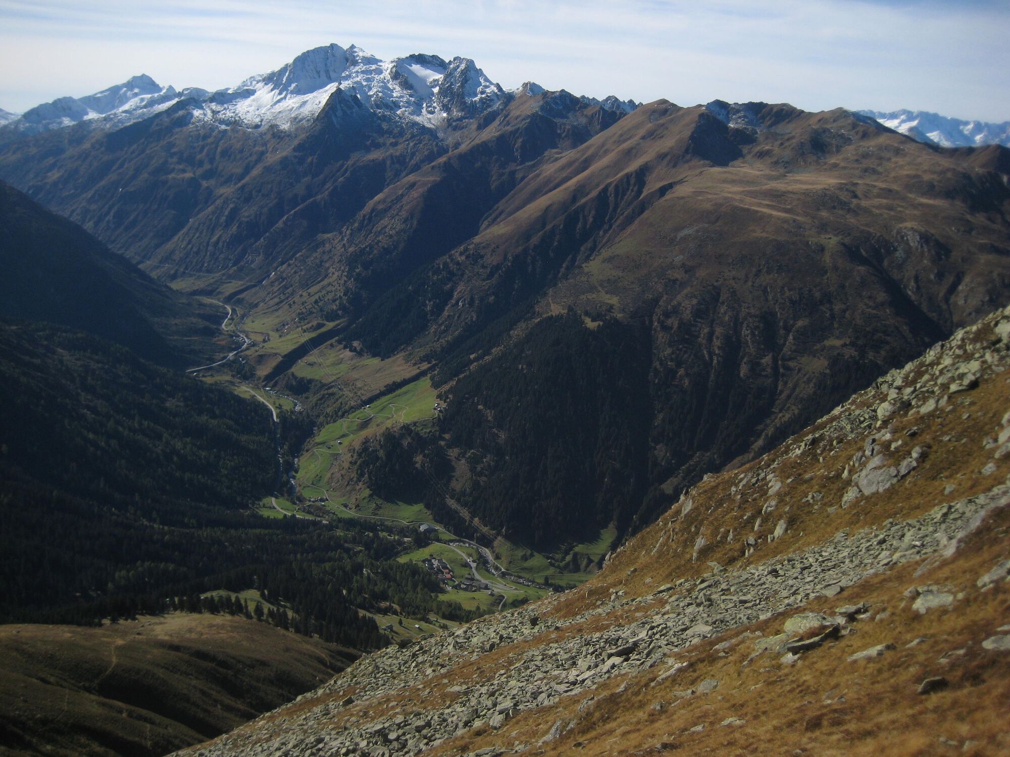
We start our tour in Pardé, a small village on the Lukmanier pass road. For the first few minutes we hike on an asphalt improvement road, which we leave shortly after a stone wall on the left. We now climb through forest, across meadows and past pretty Maiensässen to Ziegenalp Puzzetta. The modern building surprises with its red color, but we agree that it fits well into the landscape and is very photogenic. We hike along a mountain side and only moderately uphill into the Val la Buora. At the bottom right we see the stony stream bed where the waters of the Davos la Buora glacier flow into the valley. Then we look up and mentally prepare ourselves for the fact that we now have to climb around three hundred meters in altitude, practically straight up, to Fuorcla dalla Buora.
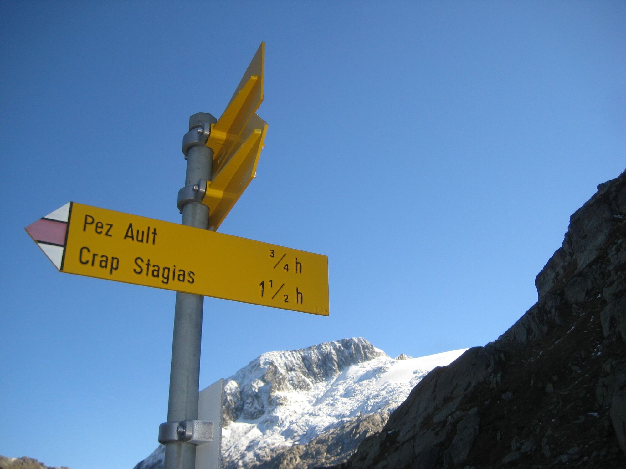
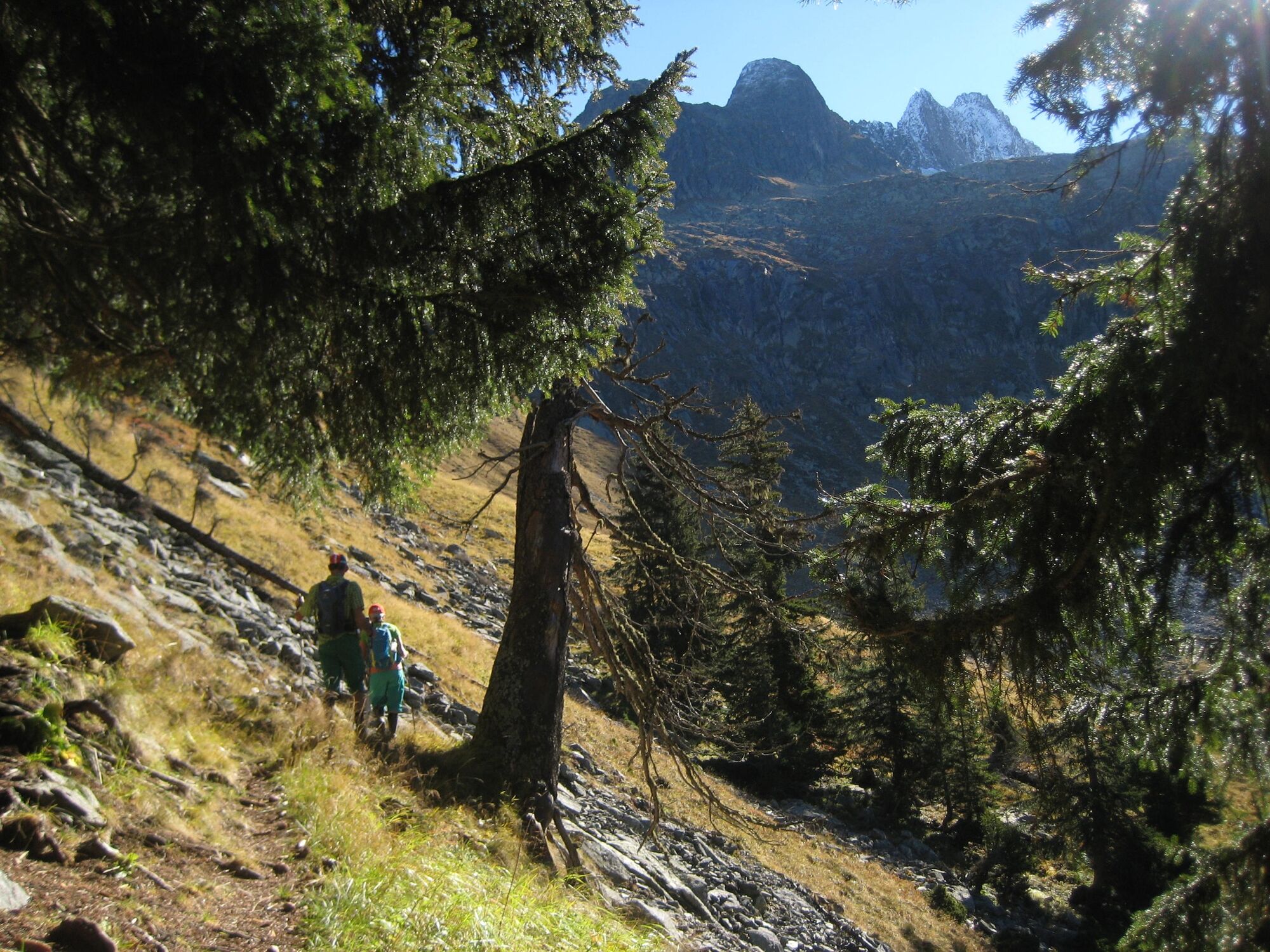
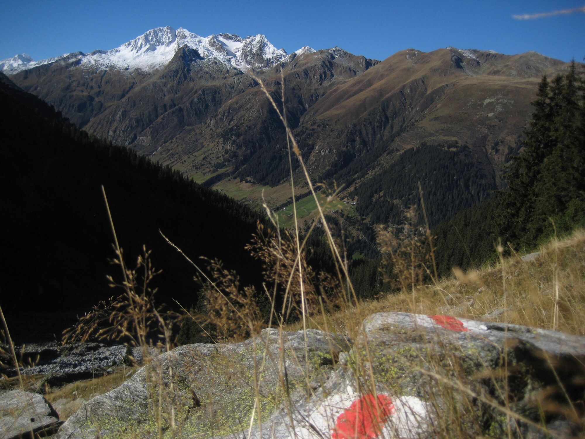
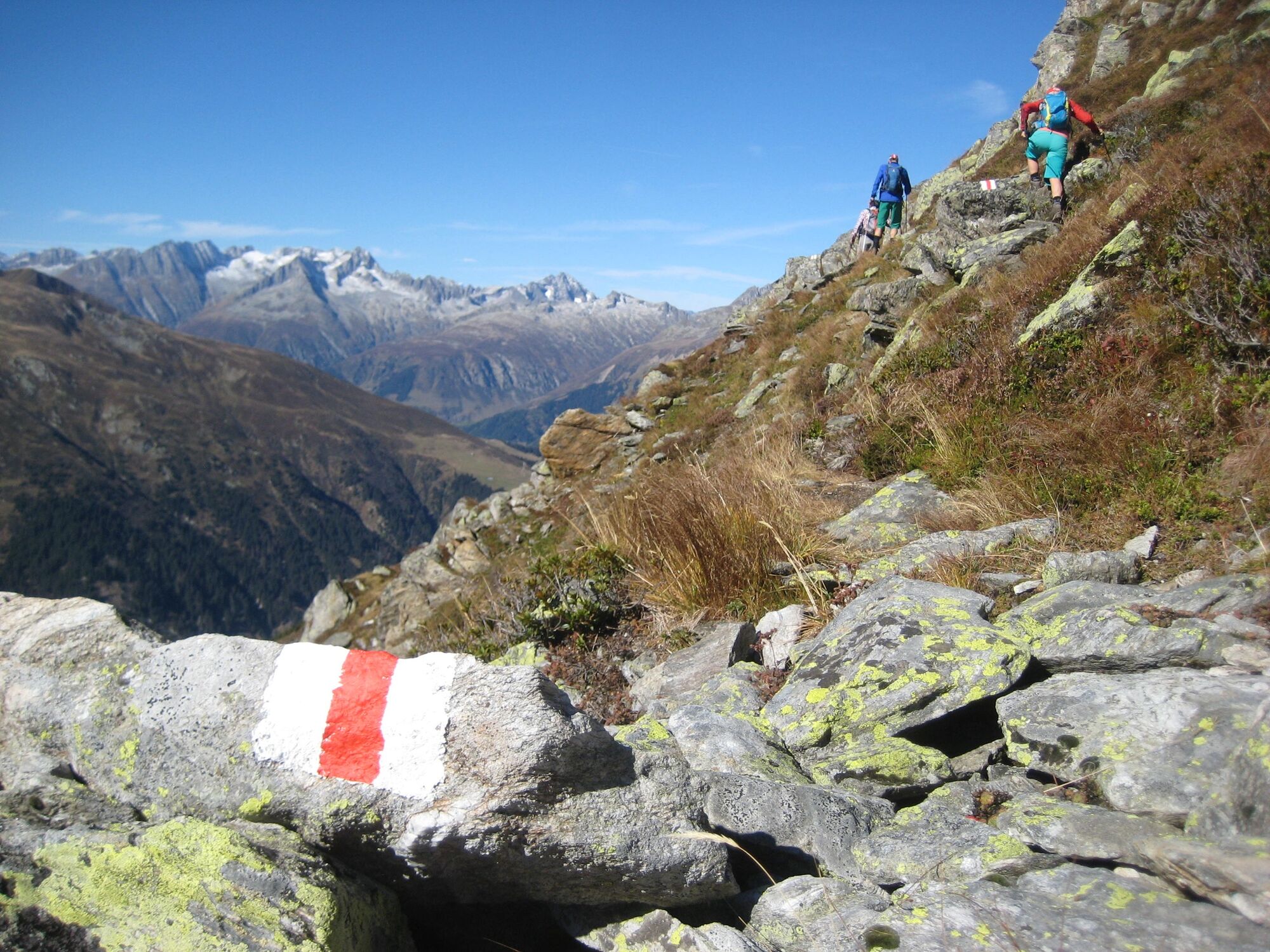
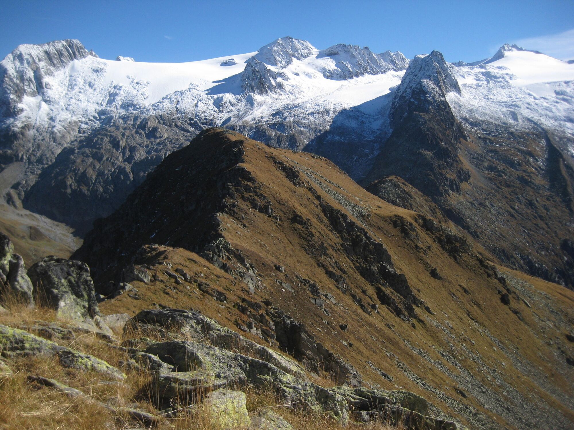
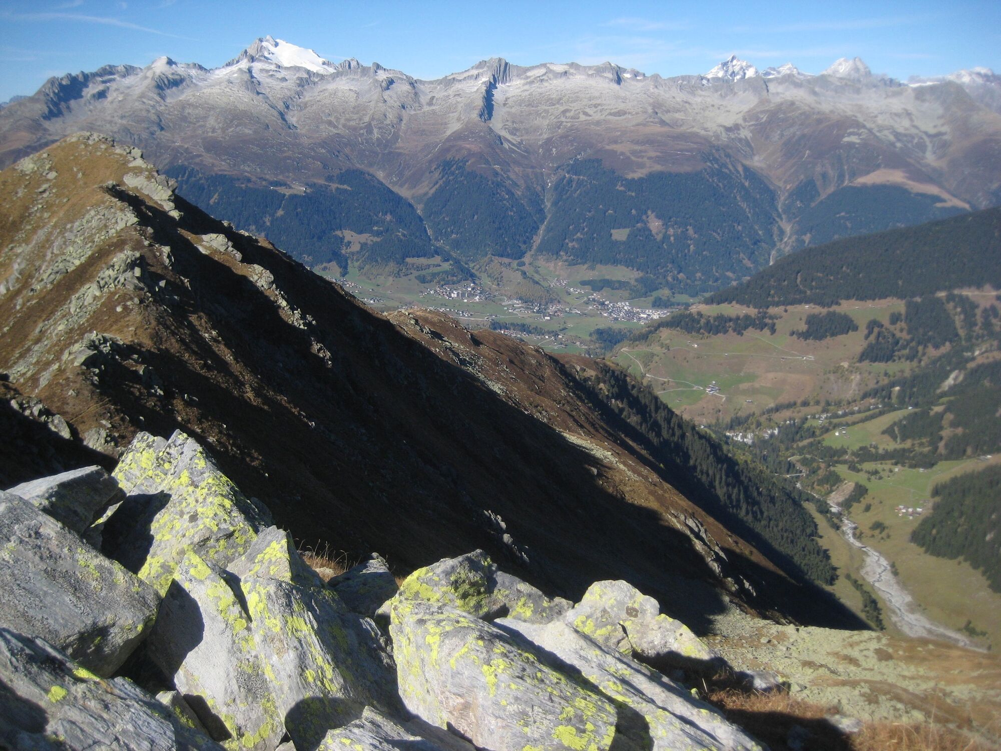
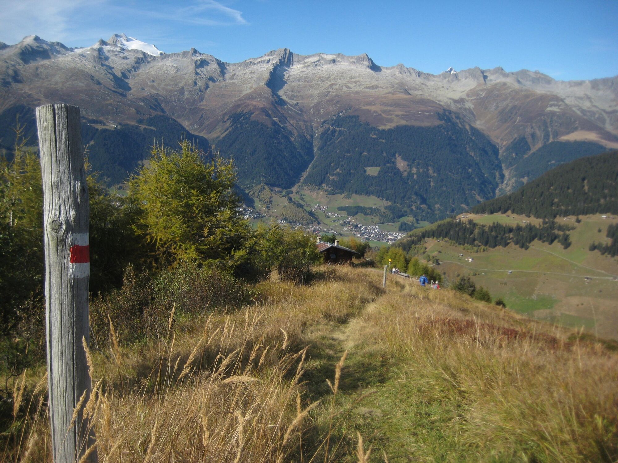
Once at the top, this transition into Val Medel is still in the shadows, so that the view of the Medelser Glacier that opens up almost blinds us a little. The ridge that follows is alternately wide and overgrown with grass and heather, then again demanding and interspersed with rocky passages. And it goes up and down until we can finally enjoy the view at point 2479, next to the big stone man. The valleys with their villages and districts lie far below us and the 360 degree mountain panorama is impressively peppered with snow-covered peaks. On the descent we pass a hut with a fireplace and a fountain in Crap Stagias, then we soon see down to our starting point, Pardé.
- Highest point
- 2,472 m
- Endpoint
-
Pardé
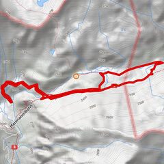
- Height profile
-
 © outdooractive.com
-

-
AuthorThe tour Piz Ault, Val Medel is used by outdooractive.com provided.


General info
-
Uri
1555
-
Disentis Sedrun
521
-
Tujetsch
159