
- Brief description
-
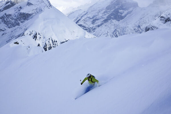
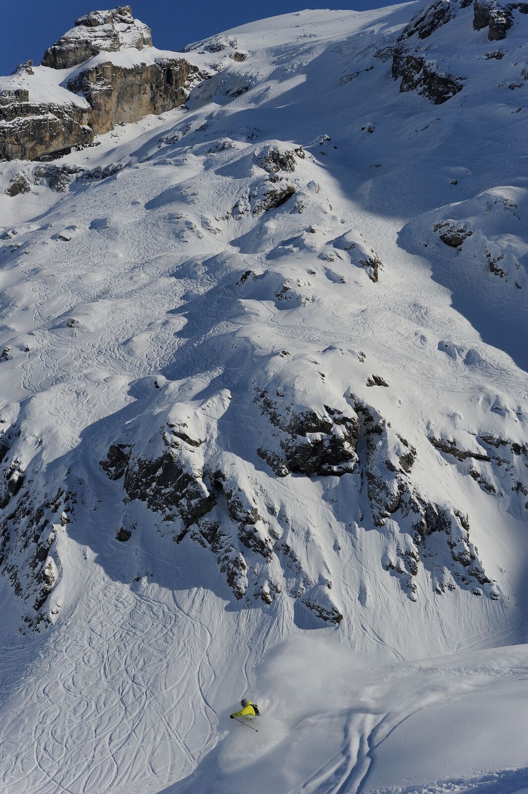
The Sulz, also one of the BIG 5 freeride downhill runs, with its varied downhill possibilities is called the "terrain to play on".
- Difficulty
-
medium
- Rating
-
- Starting point
-
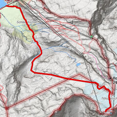
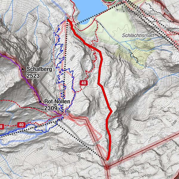
Jochstock
- Route
- Best season
-
AugSepOctNovDecJanFebMarAprMayJunJul
- Description
-
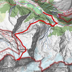
Little, medium and big "Sulz". Offer a wide range of playful skiing. From the "Jochstock-Express" top station, all the runs invite with wide slopes, different variations, and steep and interesting couloirs. The small "Sulz" is suited as warm-up run.
Comments
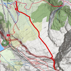
With some variants, the return transport path can be difficult to locate! descent from 2567m.ü.M - 1764m.ü.M It is recommended to hire a mountain guide - Directions
-
Jochstock-Trübsee
- Highest point
- 2,477 m
- Endpoint
-
Trübsee
- Height profile
-
 © outdooractive.com
 - Equipment
-
The equipment can be rented in the sports shops of Engelberg.
- Safety instructions
-
Safety tips for off-piste skiing
Please note that you are travelling at your own risk. A departure must be carefully planned. Appropriate equipment (avalanche transceiver, probe, shovel, airbag) and clothing are essential safety factors. The local ski and mountain guides will take you safely to your destination and back home. Emergency call REGA telephone number 1414 - Tips
-
Safe powder fun at the Snow & Safety Days.
- Additional information
- Directions
-
By car you drive on the A2 (Basel-Gotthard) to Stans Süd, then on the main road 20 km to Engelberg. Engelberg is 30 minutes from Lucerne, 1 hour and 15 minutes from Basel, Zurich or Bern.
- Public transportation
-
National and international connections (from Zurich airport connections every half hour with approx. 1h travel time) to Lucerne. Afterwards with the Zentralbahn in 43 minutes through varied landscape and gorges up to Engelberg.
- Parking
-
Parking spaces are available in Engelberg for a fee.
-

-
AuthorThe tour Sulz is used by outdooractive.com provided.


-
Nidwalden
9
-
Engelberg Titlis
8
-
Gadmen
6