- Brief description
-
There are some ascents and descents along the way during the entire hiking tour from the Spitze ski lift near Eggersriet up to the Fünfländerblick viewpoint. However, they are never too steep and always on small, asphalted roads.
- Difficulty
-
easy
- Rating
-
- Starting point
-
Ski lift Spitze (Eggersriet)
- Route
-
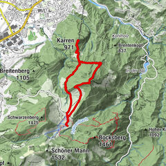
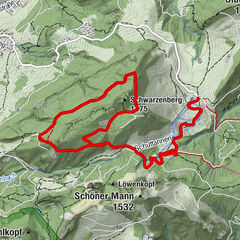
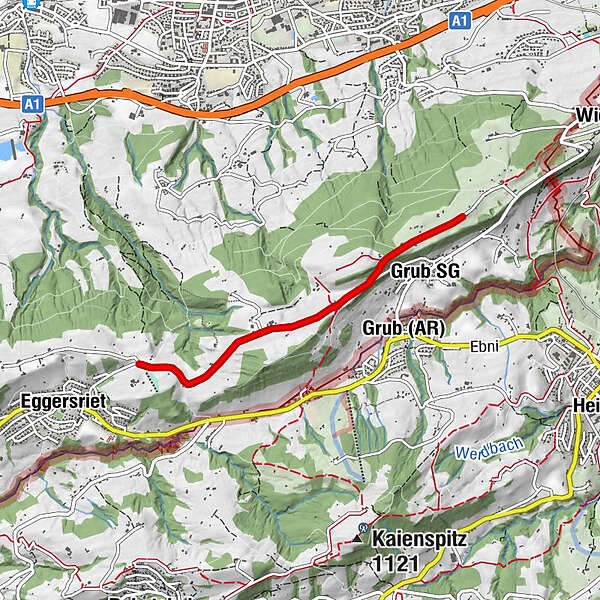
SpitzeStein0.0 kmRappen0.3 kmWürzwallen0.4 kmNeuhaus0.7 kmFeldmoos0.9 kmGrub SG2.7 kmRossbüchel2.8 kmMaria-Lourdes-Kapelle2.9 kmFünfländerblick (899 m)3.0 kmFünfländerblick3.3 kmRossbüchel3.8 kmFeldmoos5.4 kmNeuhaus5.6 kmWürzwallen6.0 kmRappen6.3 kmStein6.6 kmSpitze6.6 km
- Best season
-
JanFebMarAprMayJunJulAugSepOctNovDec
- Description
-
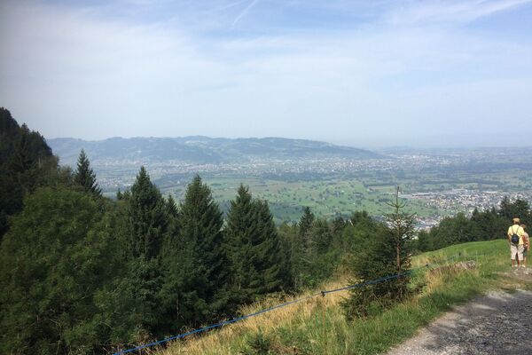
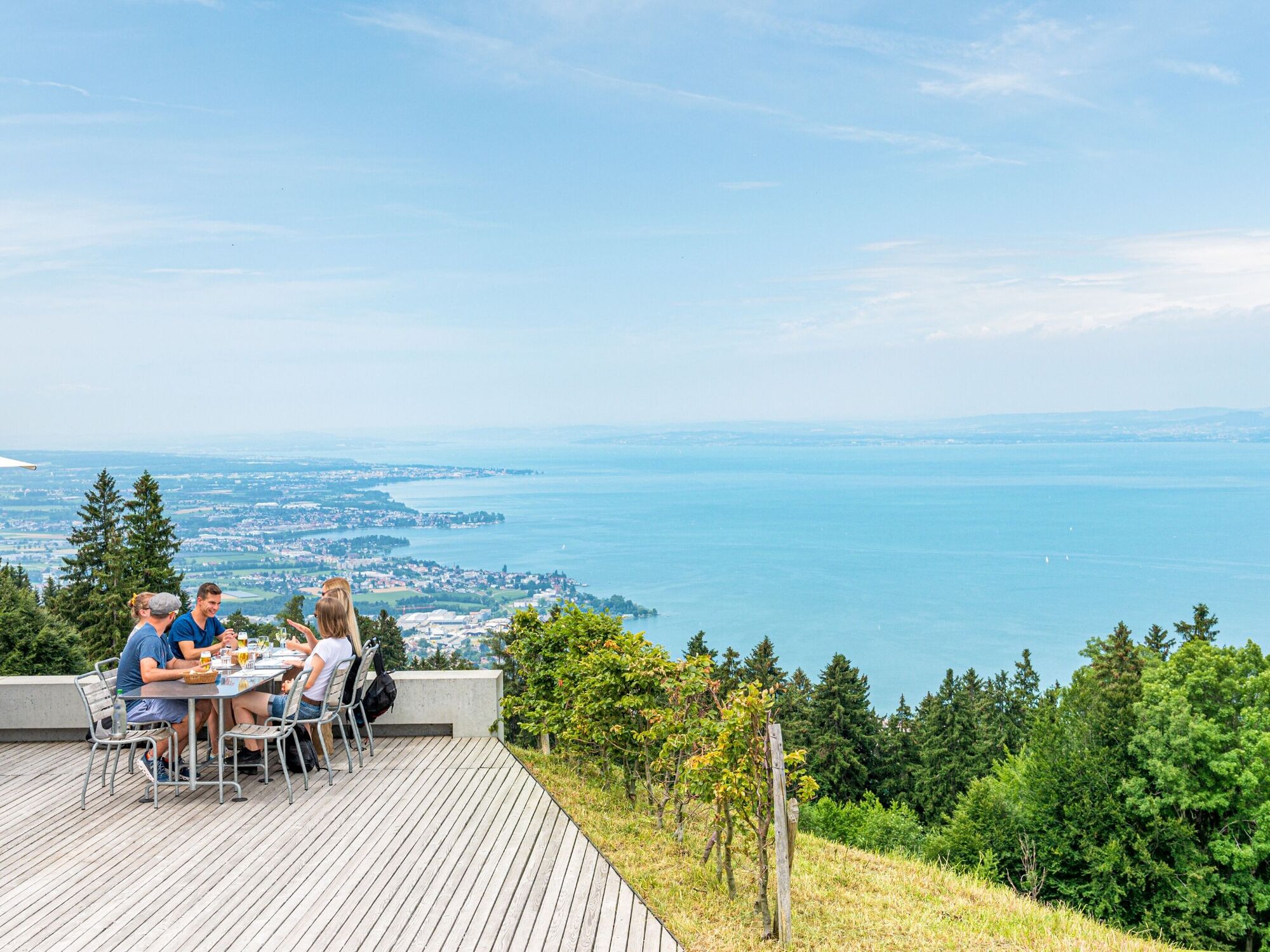
The beauty of this trail is that you are starting at quite a height already and thus seem to “float” high above Lake Constance and the sea of fog. Along the way, views over Lake Constance keep opening up between the treetops. Naturally, the youngest walkers or pram passengers may find the farm animals they meet en route much more exciting. It is all in the name – the views extend across five lands: Switzerland, Austria and the formerly independent states of Bavaria, Württemberg and Baden.
- Directions
-
Spitze (Eggersriet) - Fürschwendi - Rossbüchel - Fünfländerblick - Rossbüchel - Fürschwendi - Spitze (Eggersriet)
- Highest point
- 935 m
- Endpoint
-
Ski lift Spitze (Eggersriet)
- Height profile
-
 © outdooractive.com
 - Equipment
-
Good footwear, trekking or hiking shoes
- Tips
-
A visit to the Rossbüchel inn.
- Additional information
- Parking
-
Parking is available at the ski lift Spitze in Eggersriet.
- Author
-
The tour Eggersriet - Fünfländerblick is used by outdooractive.com provided.


General info
-
St. Gallen - Bodensee
2109
-
St. Gallen und Umgebung
760
-
Grub
205