1977
SK7306 : The approach to Lowesby station
taken 47 years ago, near to Lowesby, Leicestershire, England
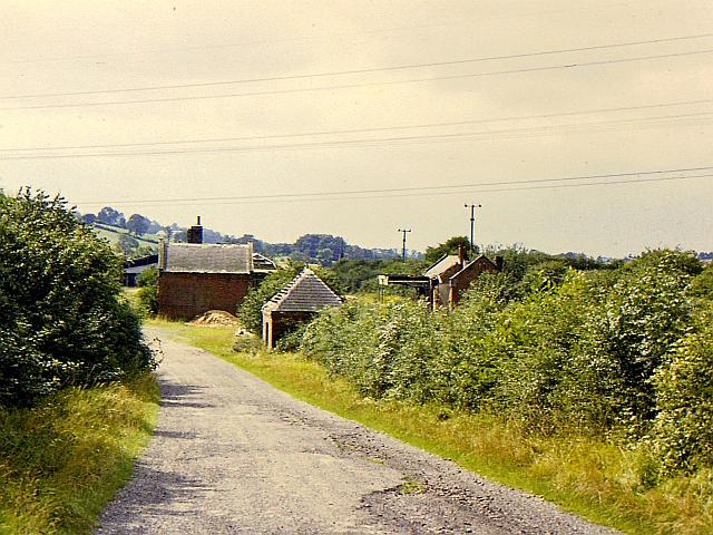
The approach to Lowesby station
The approach road to Lowesby station, closed in 1953.
 Map © Crown Copyright")
TIP: Click the map for more Large scale mapping
- Grid Square
- SK7306, 21 images (more nearby 🔍)
- Photographer
- Richard Green (more nearby)
- Date Taken
- Tuesday, 30 August, 1977 (more nearby)
- Submitted
- Sunday, 23 June, 2013
- Subject Location
-
OSGB36:
 SK 7340 0683 [10m precision]
WGS84: 52:39.2544N 0:54.9827W - Camera Location
-
OSGB36: SK 73477 06902
- View Direction
- Southwest (about 225 degrees)