2014
SU6183 : Lower Cadley's Farm, South Stoke, Oxfordshire
taken 10 years ago, near to South Stoke, Oxfordshire, England
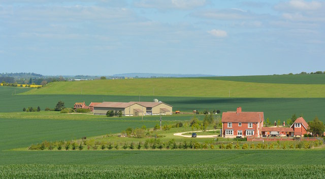
Lower Cadley's Farm, South Stoke, Oxfordshire
 Map © Crown Copyright")
TIP: Click the map for more Large scale mapping
- Grid Square
- SU6183, 33 images (more nearby 🔍)
- Photographer
- Edmund Shaw (more nearby)
- Date Taken
- Saturday, 3 May, 2014 (more nearby)
- Submitted
- Monday, 5 May, 2014
- Subject Location
-
OSGB36:
 SU 617 834 [100m precision]
WGS84: 51:32.7729N 1:6.6543W - Camera Location
-
OSGB36: SU 618 831
- View Direction
- North-northwest (about 337 degrees)