TG2619 : Horstead mill-pond on the River Bure
taken 9 years ago, near to Horstead, Norfolk, England
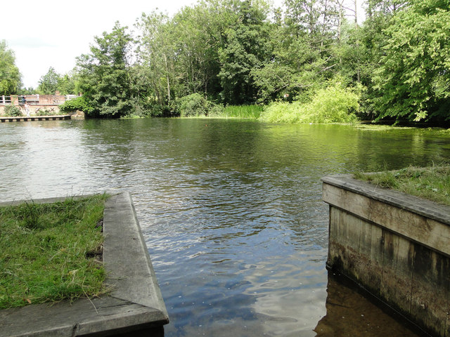
Norfolk has nearly 40 rivers and becks as well as the Norfolk Broads. The primary rivers are the River Waveney which with the River Little Ouse create the boundary between Norfolk and Suffolk. The Yare rises south of Dereham and runs into Breydon Water and discharges into the North Sea at Great Yarmouth. The River Wensum is a tributary of the River Yare, despite being the larger of the two rivers. The River Bure rises near Melton Constable, flows as far as through Runham and Great Yarmouth where it meets Breydon Water and flows into the sea at Gorleston. The River Great Ouse only enters Norfolk at Brandon Creek, Norfolk. The River Tud has its source just south of East Dereham and it flows in an easterly direction for 27 kilometres (17 mi) to its confluence with the Wensum below Hellesdon mill. The River Nar is a tributary of the River Great Ouse. It rises at Mileham in Norfolk and flows 15 miles west through Castle Acre and Narborough (the latter giving the Nar its name), joining the Ouse at King's Lynn. The River Chet at Loddon Marina.
The Bure rises near Melton Constable, through Runham and Great Yarmouth where it meets Breydon Water and flows into the sea at Great Yarmouth.
During its journey to the sea it passes through Buxton, Lammas, Coltishall, Belaugh, Wroxham, Horning, Ludham Bridge, across the Halvergate marshes before it reaches Breydon water.
 Map © Crown Copyright")
- Grid Square
- TG2619, 164 images (more nearby 🔍)
- Photographer
- Adrian S Pye (more nearby)
- Date Taken
- Monday, 6 July, 2015 (more nearby)
- Submitted
- Monday, 6 July, 2015
- Subject Location
-
OSGB36:
 TG 2672 1933 [10m precision]
WGS84: 52:43.4443N 1:21.3556E - Camera Location
-
OSGB36: TG 2674 1930
- View Direction
- North-northwest (about 337 degrees)