2016
SO6000 : The Globe, Alvington
taken 8 years ago, near to Alvington, Gloucestershire, England
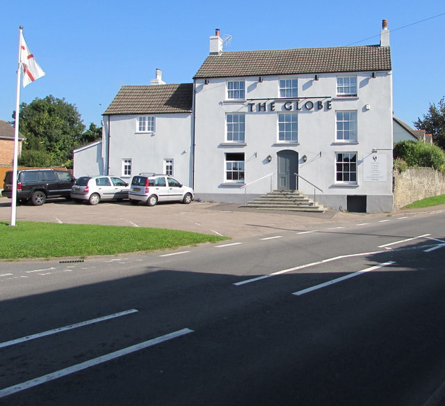
The Globe, Alvington
Clanna Road pub viewed across the A48, here named Main Road Alvington.
 Map © Crown Copyright")
TIP: Click the map for more Large scale mapping
- Grid Square
- SO6000, 100 images (more nearby 🔍)
- Photographer
- Jaggery (more nearby)
- Date Taken
- Sunday, 18 September, 2016 (more nearby)
- Submitted
- Monday, 24 July, 2017
- Subject Location
-
OSGB36:
 SO 6032 0088 [10m precision]
WGS84: 51:42.3148N 2:34.5373W - Camera Location
-
OSGB36: SO 6031 0085
- View Direction
- North-northeast (about 22 degrees)