2019
TQ7012 : Ninfield Primary School
taken 5 years ago, near to Ninfield, East Sussex, England
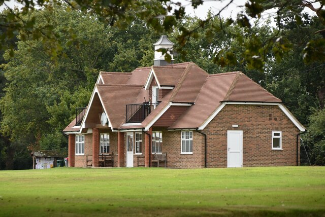
Ninfield Primary School
Ninfield is a village in the Wealden District of East Sussex. The village is a linear village along the A269 and is 4 miles north of Bexhill-on-Sea.
As with many other Wealden villages, it was involved in the iron industry: that fact is commemorated by the presence in the village of a set of iron stocks. Smuggling was also rife in the eighteenth century.
Ninfield has a primary school, a post office, a shop and two pubs, The Kings Arms and the Blacksmiths Inn. It has two churches, its medieval parish church dedicated to St Mary the Virgin; and a Methodist church.
See other images of Ninfield
 Map © Crown Copyright")
TIP: Click the map for more Large scale mapping
- Grid Square
- TQ7012, 76 images (more nearby 🔍)
- Photographer
- N Chadwick (more nearby)
- Date Taken
- Thursday, 12 September, 2019 (more nearby)
- Submitted
- Wednesday, 7 October, 2020
- Subject Location
-
OSGB36:
 TQ 7061 1228 [10m precision]
WGS84: 50:53.0892N 0:25.4460E - Camera Location
-
OSGB36: TQ 7071 1244
- View Direction
- South-southwest (about 202 degrees)