2021
SO8879 : Pool at Stakenbridge
taken 3 years ago, near to Churchill, Worcestershire, England
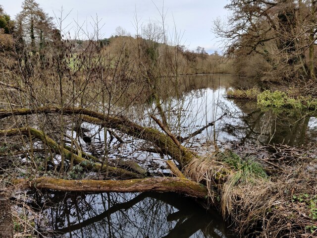
Pool at Stakenbridge
The pool is formed by the damming of the Wannerton Brook.
 Map © Crown Copyright")
TIP: Click the map for more Large scale mapping
- Grid Square
- SO8879, 77 images (more nearby 🔍)
- Photographer
- Mat Fascione (more nearby)
- Date Taken
- Tuesday, 9 March, 2021 (more nearby)
- Submitted
- Thursday, 18 March, 2021
- Subject Location
-
OSGB36:
 SO 888 795 [100m precision]
WGS84: 52:24.8299N 2:9.9653W - Camera Location
-
OSGB36: SO 888 795
- View Direction
- Northeast (about 45 degrees)