Uphill
920m

Length
13km
Duration
6h30min
Elev gain
920m
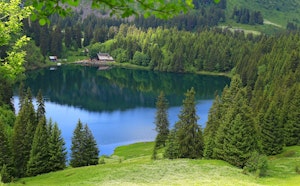
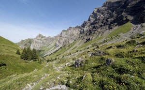
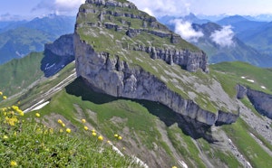
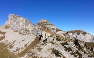
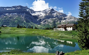
Leaving from Villars-Sur-Ollon, this hike goes up to Lake Bretaye. This long and difficult route passes through the Col de Bretaye, the Roc d'Orsay, the Chamossaire and the Petit Chamossaire, before arriving at the Lac de Bretaye. Once up there, we take advantage of the setting before returning to the direction of the starting point to close this long hike.

Already more than 200,000 users!
Uphill
920m
Highest point
2094m
Downhill
920m
Lowest point
1331m
Route type
There and back
Download the map on your smartphone to save battery and rest assured to always keep access to the route, even without signal.
Includes IGN France and Swisstopo.
I indicate whether dogs are allowed or prohibited on this trail
From May to September
0 ratings
Also enjoy:

Already more than 200,000 users!