Ingleborough Pictures, Images and Stock Photos
Browse 510+ ingleborough stock photos and images available, or search for ingleborough cave to find more great stock photos and pictures.
Most popular

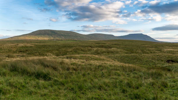
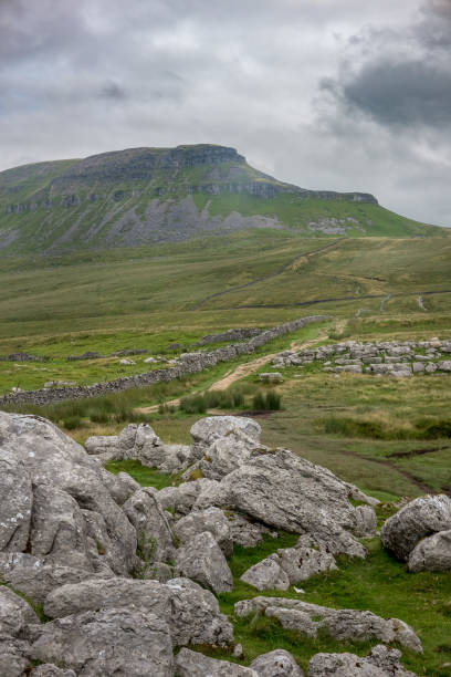
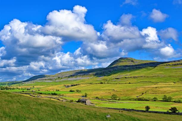
Ingleborough mountain, one of the iconic Three Peaks of Yorkshire. Yorkshire Dales National Park
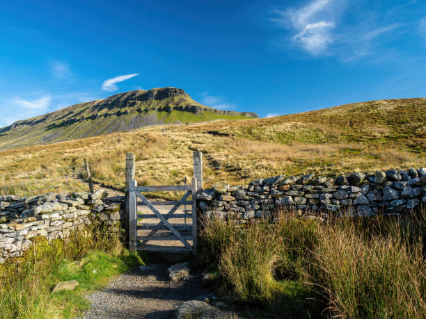
Steep paths and gates lead up to Pen-y-ghent mountain in the Yorkshire Dales. England
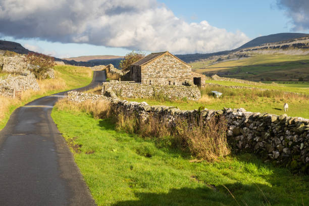
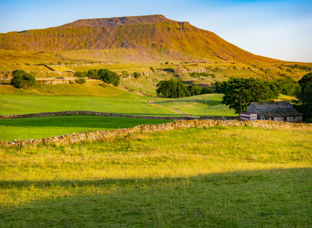
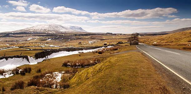
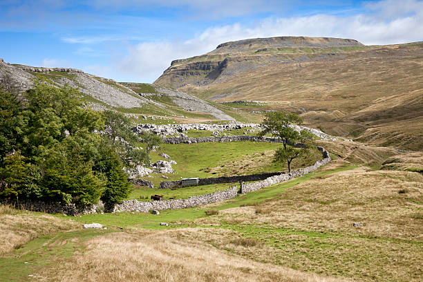
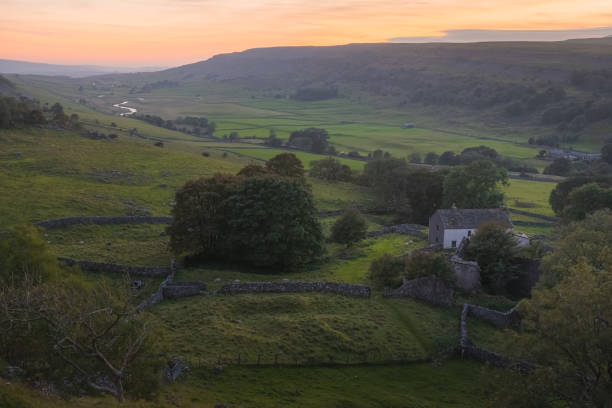
30.10.21 Ingleton, North Yorkshire, UK. Farm buildings in Twistleton Dale between Ingleton and Chapel le Dale below Ingleborough in the Yorkshire Dales
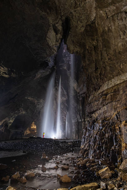
Inside Gaping Gill in Yorkshire one of the UK's largest underground chambers which is accessed through a pothole 98m (322ft) deep
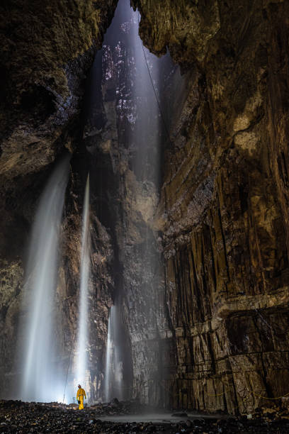
Inside Gaping Gill in Yorkshire one of the UK's largest underground chambers which is accessed through a pothole 98m (322ft) deep
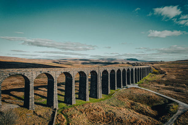
Aerial of The Ribblehead Viaduct a Grade II listed structure. in Horton in Ribblesdale, England, United Kingdom
![Ingleborough in November, Yorkshire Dales, England Ingleborough (723 m or 2,372 ft) is the second-highest mountain in the Yorkshire Dales, England.[1] It is one of the Yorkshire Three Peaks (the other two being Whernside and Pen-y-ghent), and is frequently climbed as part of the Three Peaks walk. ingleborough stock pictures, royalty-free photos & images](https://media.istockphoto.com/id/1294565968/photo/ingleborough-in-november-yorkshire-dales-england.jpg?s=612x612&w=0&k=20&c=BDEWksj_NXzbJt7--LLwXQUlEuoGQOPTHbjG_49DYaM=)
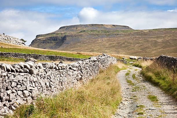
Ingleborough (723 m or 2,372 ft) is the second-highest mountain in the Yorkshire Dales, England.[1] It is one of the Yorkshire Three Peaks (the other two being Whernside and Pen-y-ghent), and is frequently climbed as part of the Three Peaks walk.
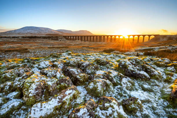
Golden light on a cold Winter evening at Ribblehead Viaduct in North Yorkshire with snow covered rocks in foreground.
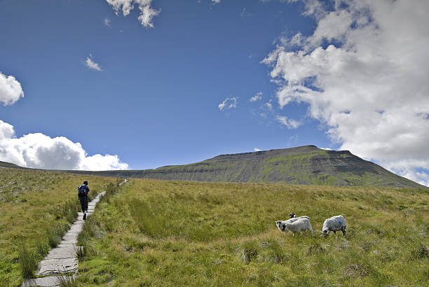
A view of ingleborough from whernside
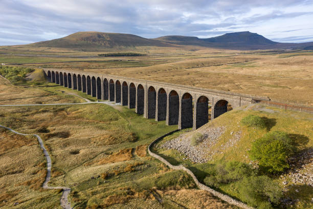
Aerial of The Ribblehead Viaduct a Grade II listed structure. in Horton in Ribblesdale, England, United Kingdom
Inglebourgh and Chapel Le Dale near Ingleton in the Yorkshire Dales National Park.
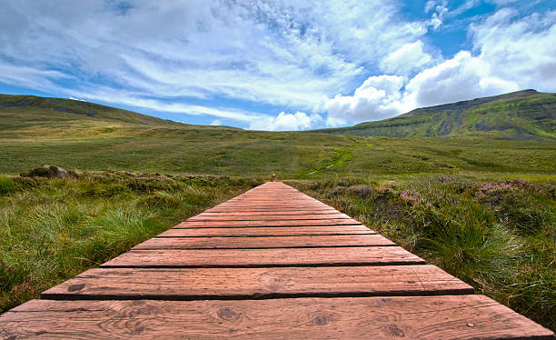
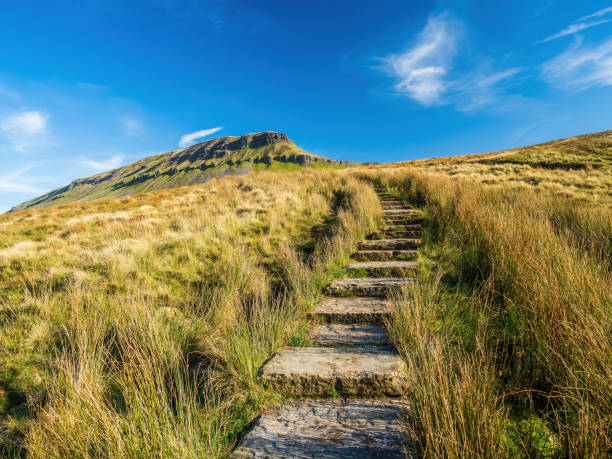
Duckboard wooden path over marshy ground on the ascent to Ingleborough, the second highest mountain in the Yorkshire Dales, one of three peaks.
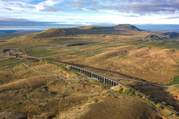
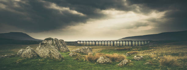
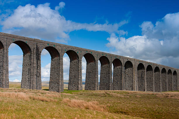
![Ariel picture of Yorkshire landmark Ribblehead Viaduct, North Yorkshire, Yorkshire Dales, Sunrise, Clouds, Railway, Landscape, Grassland, Ingleborough © Julian Hodgson 2019 Yorkshire landmark Ribblehead Viaduct, North Yorkshire, The Ribblehead Viaduct or Batty Moss Viaduct carries the SettleâCarlisle railway across Batty Moss in the Ribble Valley at Ribblehead, in North Yorkshire, England. The viaduct, built by the Midland Railway, is 28 miles (45 km) north-west of Skipton and 26 miles (42 km) south-east of Kendal. It is a Grade II* listed structure.[1] Ribblehead Viaduct is the longest and the third tallest structure on the SettleâCarlisle line.
The viaduct was designed by John Sydney Crossley, chief engineer of the Midland Railway, who was responsible for the design and construction of all major structures along the line. The viaduct was necessitated by the challenging terrain of the route. Construction began in late 1869. It necessitated a large workforce, up to 2,300 men, most of whom lived in shanty towns set up near its base. Over 100 men lost their lives during its construction. The Settle to Carlisle line was the last main railway in Britain to be constructed primarily with manual labour. ingleborough stock pictures, royalty-free photos & images](https://media.istockphoto.com/id/1172960640/photo/ariel-picture-of-yorkshire-landmark-ribblehead-viaduct-north-yorkshire-yorkshire-dales.jpg?s=612x612&w=0&k=20&c=S4rF8TF5feFQsdye8IhsHo7u3F50JREwhhctWa5NNkw=)
Yorkshire landmark Ribblehead Viaduct, North Yorkshire, The Ribblehead Viaduct or Batty Moss Viaduct carries the SettleâCarlisle railway across Batty Moss in the Ribble Valley at Ribblehead, in North Yorkshire, England. The viaduct, built by the Midland Railway, is 28 miles (45 km) north-west of Skipton and 26 miles (42 km) south-east of Kendal. It is a Grade II* listed structure.[1] Ribblehead Viaduct is the longest and the third tallest structure on the SettleâCarlisle line. The viaduct was designed by John Sydney Crossley, chief engineer of the Midland Railway, who was responsible for the design and construction of all major structures along the line. The viaduct was necessitated by the challenging terrain of the route. Construction began in late 1869. It necessitated a large workforce, up to 2,300 men, most of whom lived in shanty towns set up near its base. Over 100 men lost their lives during its construction. The Settle to Carlisle line was the last main railway in Britain to be constructed primarily with manual labour.

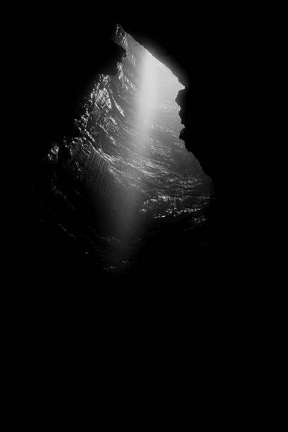
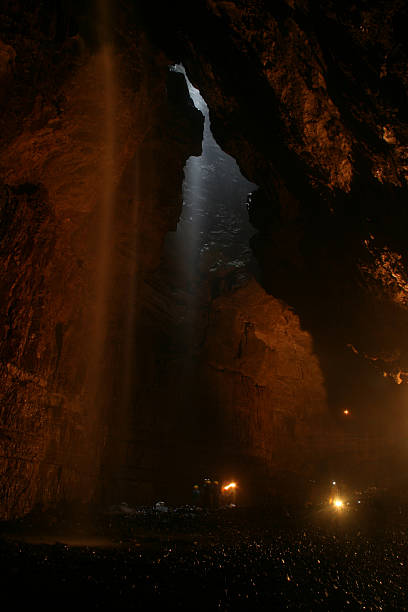
sun rays shining the cave
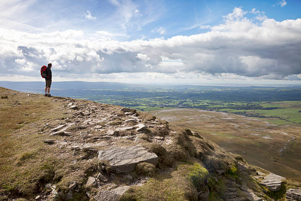
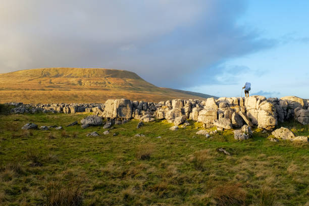
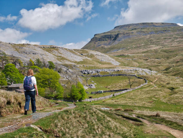
A male hiker admires the view from the top of Ingleborough, one of the Three Peaks in the Yorkshire Dales National Park, North Yorkshire, England.
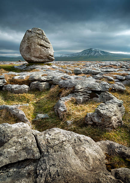
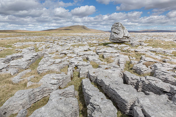
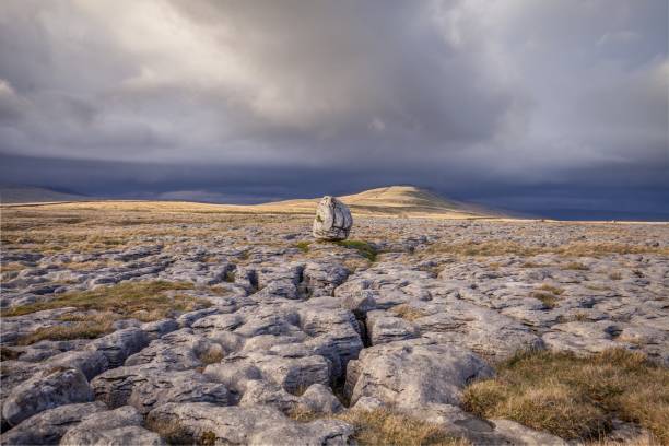
Twisleton Erratic looking towards the mountain of Ingleborough. Erratic boulders are more correctly termed as glacial erratics. These erratics were picked up, transported hundreds of miles and finally deposited by the melting glaciers. This fine example stands 2 metres high and is perched on the limestone pavement of Twisleton Scar, above Ingleton, North Yorkshire. sRGB embedded colour profile.
Gaping Gill in Ingleborough, North Yorkshire. The largest pothole in Great Britain.
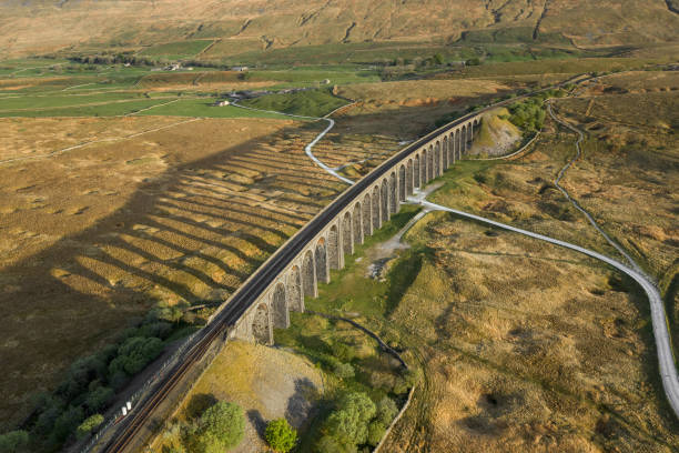
Aerial of The Ribblehead Viaduct a Grade II listed structure. in Horton in Ribblesdale, England, United Kingdom
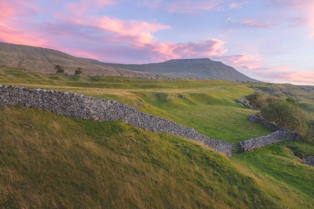
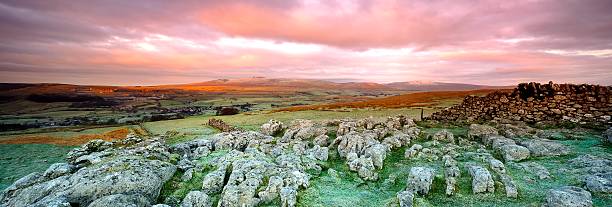
Vibrant, colourful sunrise or sunset sky over the beautiful countryside landscape of limestone pavement old stone walls at Southerscales in the Yorkshire Dales National Park, UK.
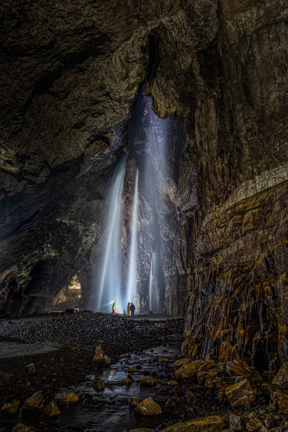
Inside Gaping Gill in Yorkshire one of the UK's largest underground chambers which is accessed through a pothole 98m (322ft) deep
Evening clouds over the Ingleborough hill, near Ribblehead and Ingleton, Yorkshire Dales, North Yorkshire, UK
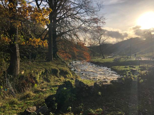
Woodland trail, sunlit trees, fallen leaves and wooden fencing in golden Autumnal colours, Clapham, Ingleborough, Yorkshire Dales, Englan
defaultRibblehead Viaduct in the Yorkshire Dales aerial view.
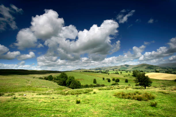
Yorkshire Dales vista with blue sky's and rolling hills
Foot path to Pen-y-Ghent on overcast day in North Yorkshire, England
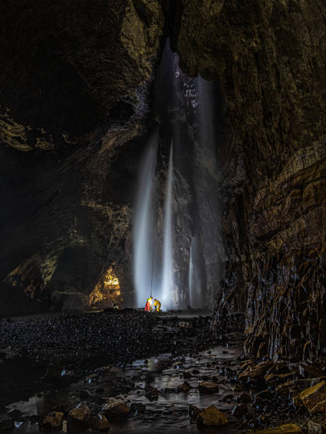
Inside Gaping Gill in Yorkshire one of the UK's largest underground chambers which is accessed through a pothole 98m (322ft) deep
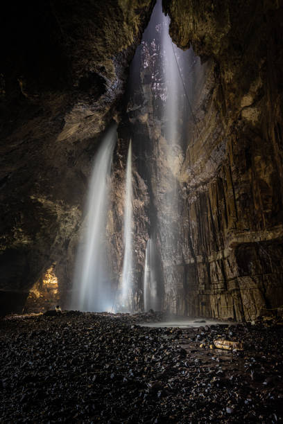
Inside Gaping Gill in Yorkshire one of the UK's largest underground chambers which is accessed through a pothole 98m (322ft) deep
Steep paths and gates lead up to Pen-y-ghent mountain in the Yorkshire Dales. England
Backpacker taking in the view of Ingleborough covered in warm evening light.
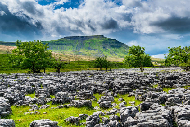
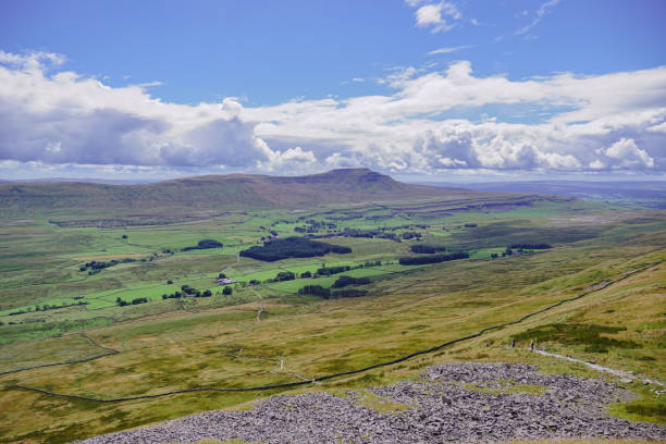
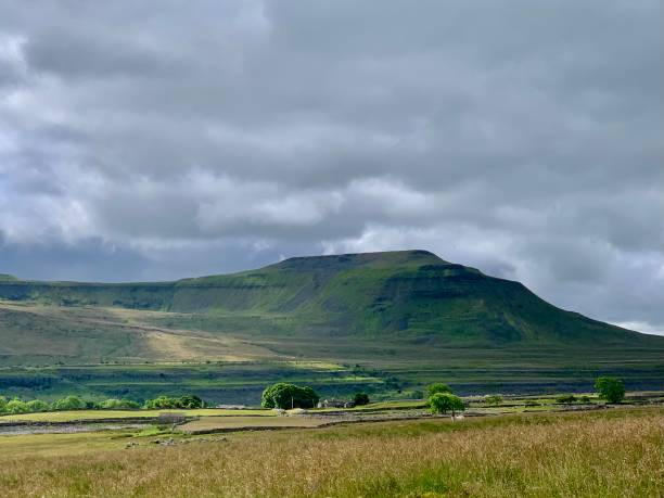
Ingleborough is the second highest mountain in the Yorkshire Dales and is one of the Yorkshire Three Peaks
A view of the mountain Ingleborough which is one of the Three Peaks in the Yorkshire Dales National Park, North Yorkshire, England.
Ingleborough
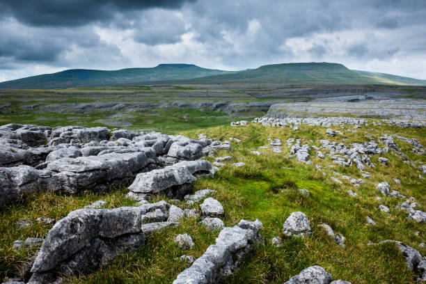
Limestone and wide landscape in the Yorkshire Dales National Par in North of England
A view of the mountain Ingleborough which is one of the Three Peaks in the Yorkshire Dales National Park, North Yorkshire, England.

"Thornton Force waterfall in the Yorkshire Dales, UK"
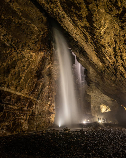
Inside Gaping Gill in Yorkshire one of the UK's largest underground chambers which is accessed through a pothole 98m (322ft) deep
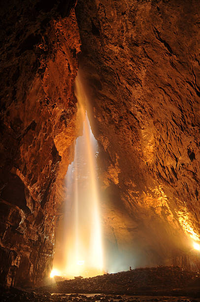
Light from above inside Gaping Gill cave in Ingleborough, Yorkshire Dales National Park (England).
Snow lies on Ingleborough mountain and Ribblesdale in early spring in England's Yorkshire Dales National Park.
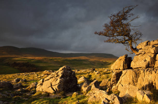
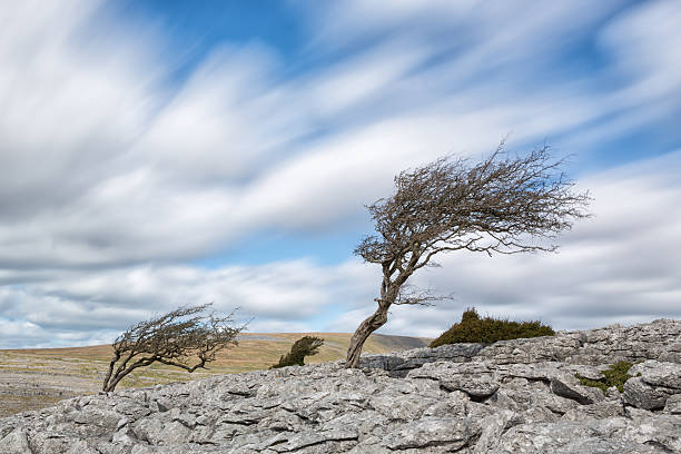
A windswept tree on Norber looking towards Ingleborough in the Yorkshire Dales.
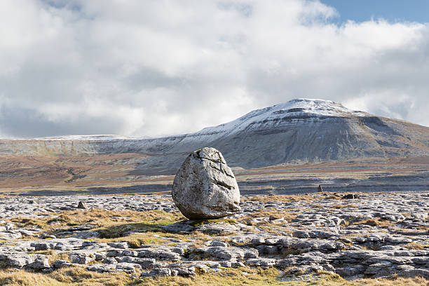
Twistleton Scar erratic, Yorkshire Dales National Park, on a cold wintery day in the UK
Ribblehead Viaduct and Ingleborough view with freight train on the Settle-Carlisle railway.
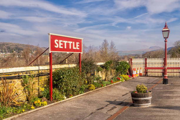
31.03.24 Settle, North Yorkshire, UK. Sign at Settle railway station station
A view of the mountain Ingleborough which is one of the Three Peaks in the Yorkshire Dales National Park, North Yorkshire, England.
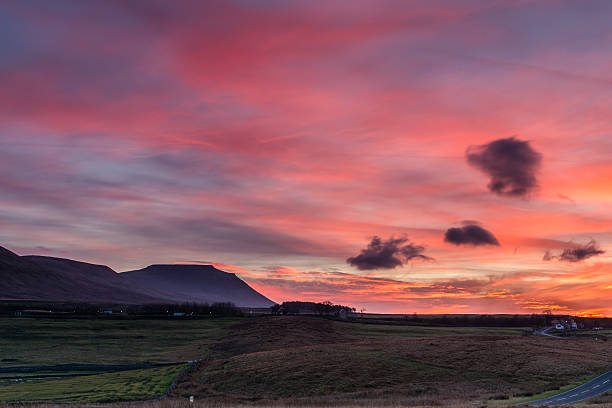
Winter Pink Skies over Ingleborough
5 image HDR in Lr CC using 5 separate focus pointsTwistleton Scar erratic, Yorkshire Dales National Park, on a cold wintery day in the UK
30.10.21 Ingleton, North Yorkshire, UK. Farm buildings in Twistleton Dale between Ingleton and Chapel le Dale below Ingleborough in the Yorkshire Dales
The Settle Loop is a 10 mile circular route that can be started and finished in Settle or joined from surrounding areas such as Malham and Stainforth.
Windblown hawthorn trees on Twistleton Scar limestone payment, Yorkshire (UK)
Glacial erratic boulders on Twistleton Scar. Yorkshire Dales National Park in spring time.
Ingleton is a beautiful village in the Yorkshire Dales, famed for its views of Ingleborough and the three peaks.
Colourful, sunrise or sunset sky over the rural countryside landscape and farmland of Ingleborough Valley in the Yorkshire Dales National Park, UK.
Gaping Gill in Ingleborough, North Yorkshire. The largest pothole in Great Britain.
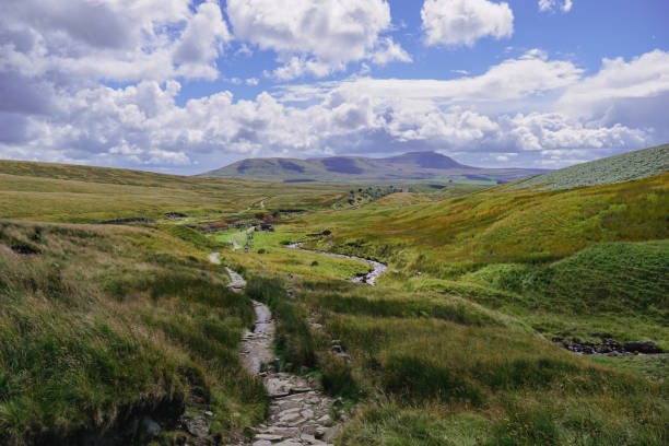
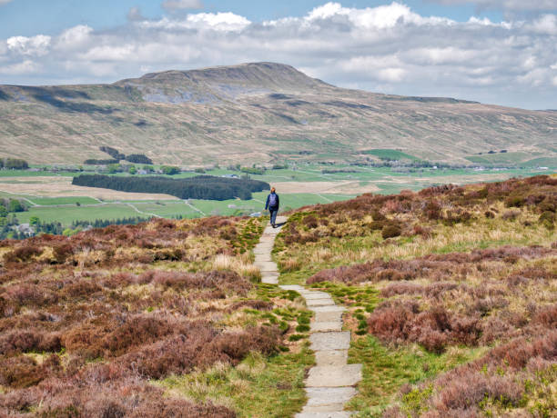
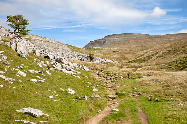
A path between mountains
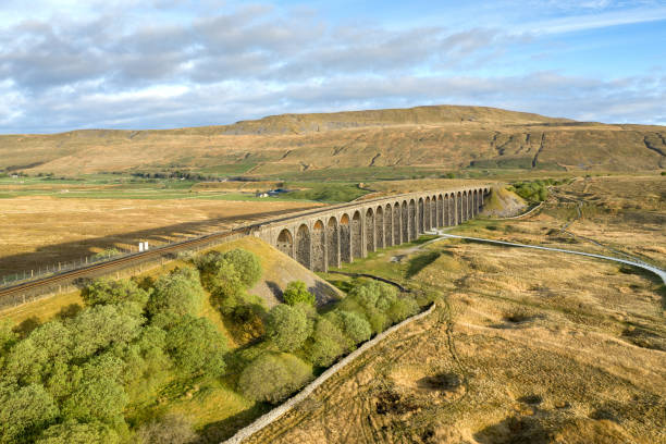
Aerial of The Ribblehead Viaduct a Grade II listed structure. in Horton in Ribblesdale, England, United Kingdom
Famous Ribblehead Viaduct in the Yorkshire Dales on a sunny day, England