Los Alamos New Mexico Pictures, Images and Stock Photos
Browse 690+ los alamos new mexico stock photos and images available, or search for northern new mexico or los alamos national laboratory to find more great stock photos and pictures.
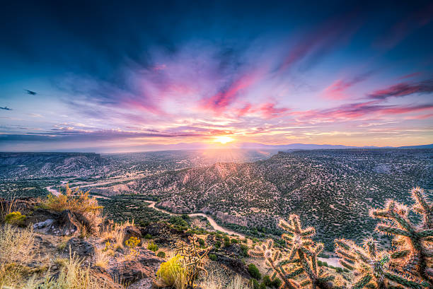
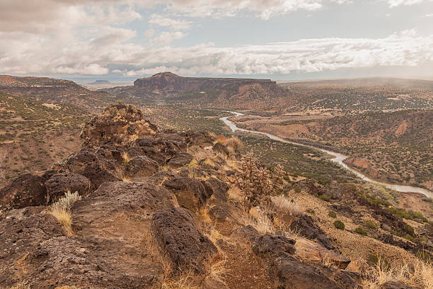
Stunning sunrise at Overlook Point near Bandelier, NM
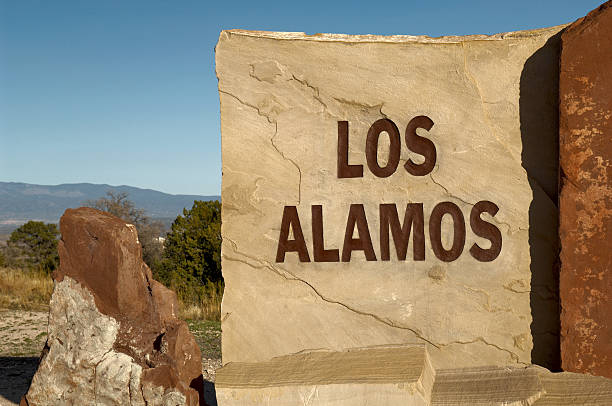
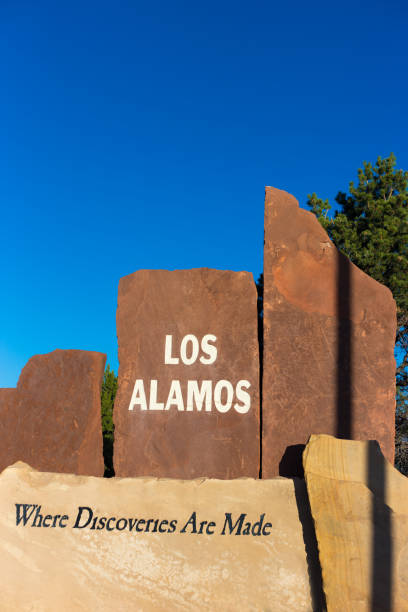
"The hard light of the setting sun casts harsh shadows on this carved and painted stone sign at the entrance to the town of Los Alamos, New Mexico, home to the Los Alamos National Laboratory, and birthplace of the Atomic Bomb. This image is one in a series on the LA Main Hill Entrance."
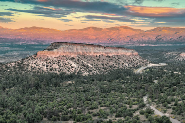
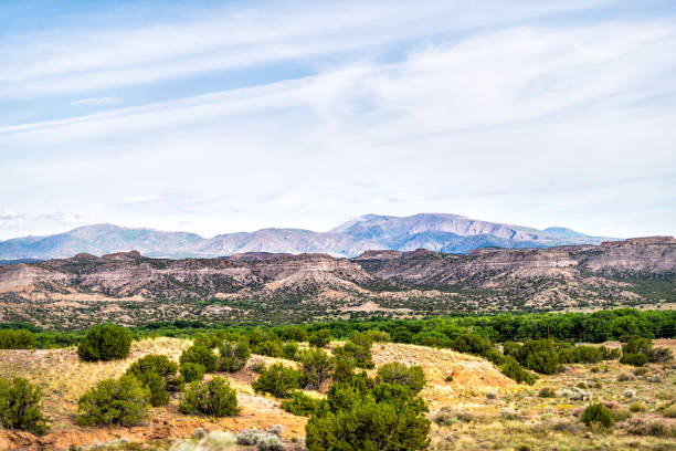
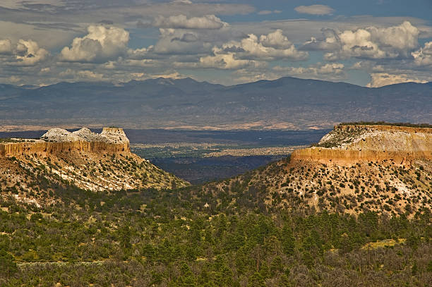
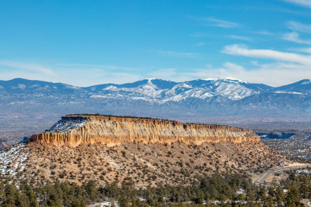
Mesa on the Pajarito Plateau and the Sangre de Cristo Mountains in the distance at Los Alamos, near Santa Fe, New Mexico, USA
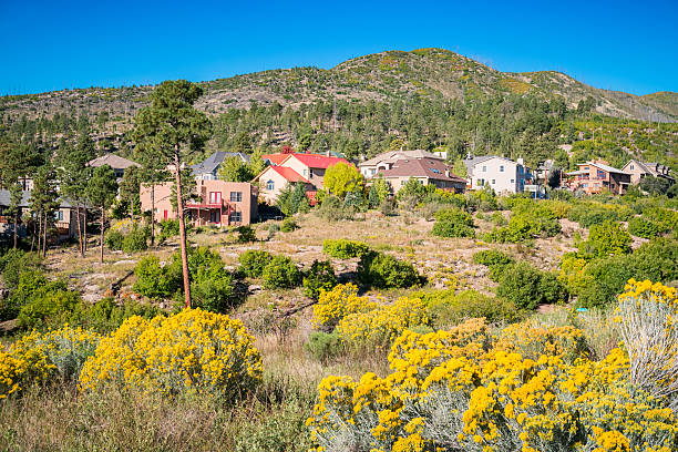
Photo of a residential neighborhood with large houses in Los Alamos, New Mexico, USA, on a clear blue sky day.

Park pond with ducks in downtown Los Alamos, New Mexico, USA.
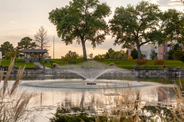
The Ashley Pond was named after Ashley Pond, the founder of the Los Alamos Ranch School, that opened in 1917. It was originally a natural depression in the ground and today the 10-acre Ashley Pond Park is a popular location for concerts, picnics, events and walks.
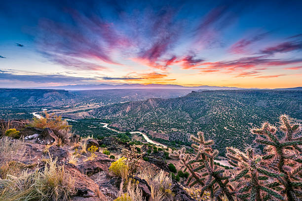
Stunning sunrise at Overlook Point near Bandelier, NM
The Los Alamos County Golf Course was built in 1947 by the Atomic Energy Commission. It has a 6,500 yard, par 72, 18 hole layout and it's located at the foothills of the Jemez Mountains on the Pajarito Plateau.
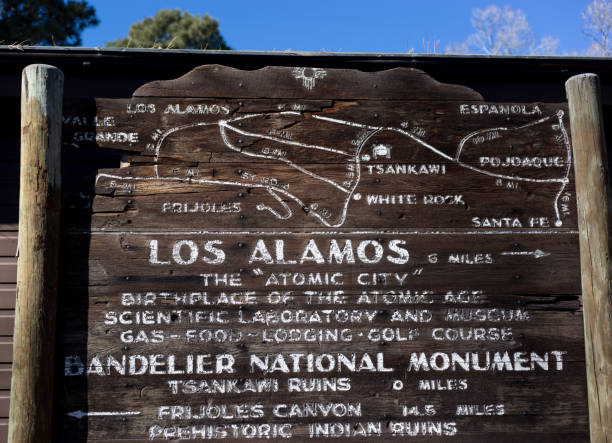
Los Alamos, NM: Vintage 1950s wooden tourist information sign in downtown Los Alamos, a town made famous as the 1940s home of the Manhattan Project.
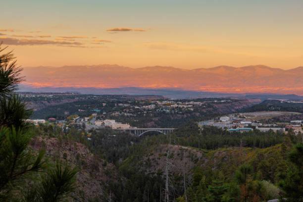
Town of Los Alamos, New Mexico on the left and center, the Omega Bridge in the middle and the Los Alamos National Laboratories on the right.
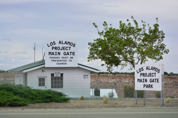
This is the main security entrance to the Los Alamos Weapons facility in New Mexico where the first atomic bomb was created.
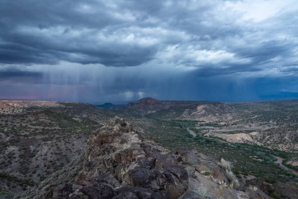
Dramatic evening thunderstorm approaching over the Rio Grande river canyon near White Rock, New Mexico.
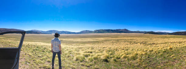
The rugged landscape of Northern New Mexico outside of Santa Fe.
Stunning sunrise at Overlook Point near Bandelier, NM
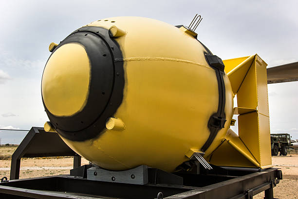
Fat Man Nuclear Bomb in color.
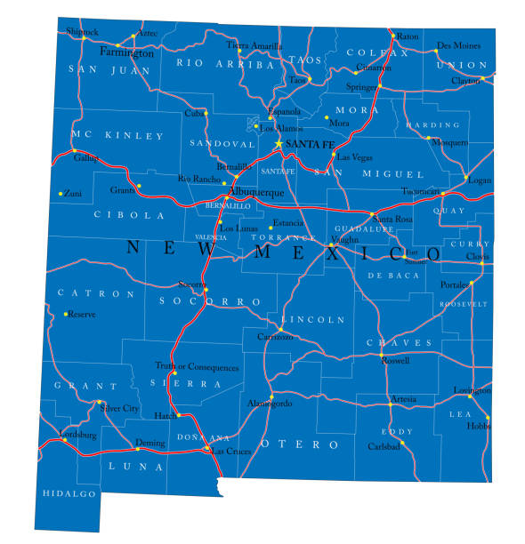
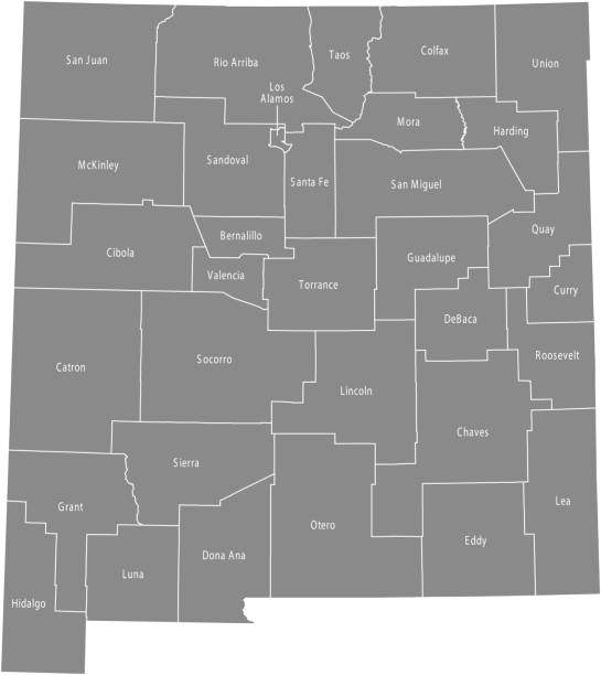
Detailed map of New Mexico state,in vector format,with county borders,roads and major cities.
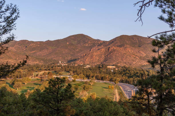
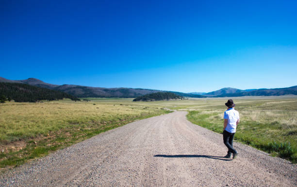
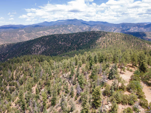
A mountain landscape near Los Alamos in New Mexico
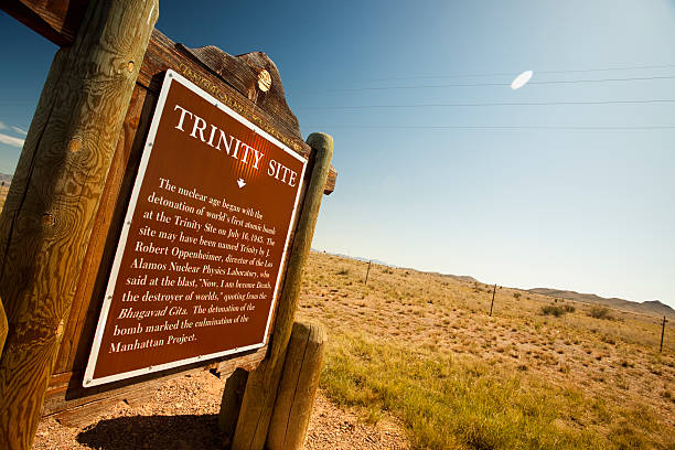
"White Sands Missile Range, New Mexico, USA memorial to the military Manhattan Project"
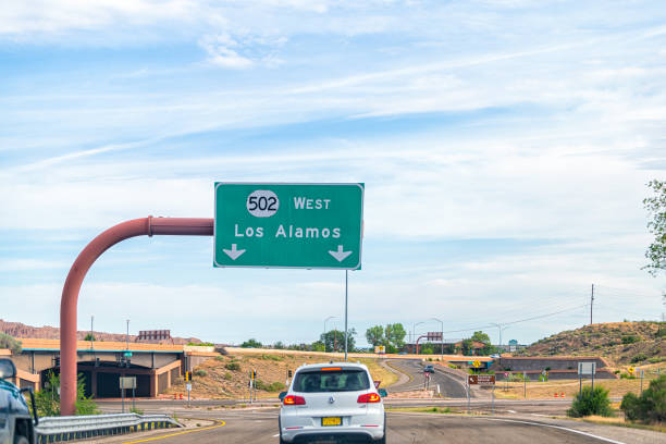
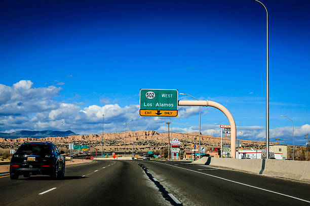
Santa Fe, USA - June 17, 2019: New Mexico desert with cars on road highway sign to Los Alamos driving with street 502 west
Los Alamos, New Mexico
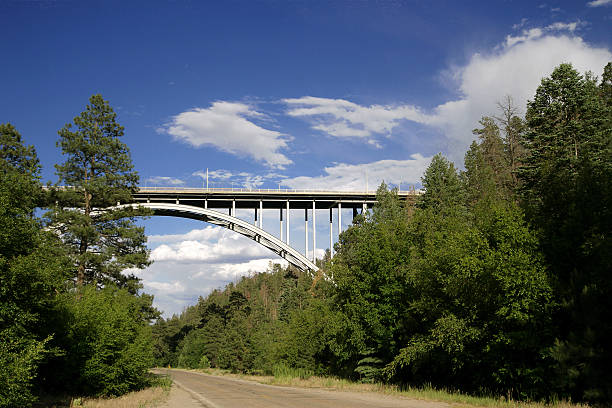
Bridge to Los Alamos National Laboratory
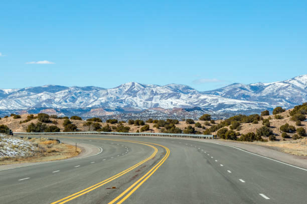
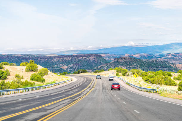
The view of snow capped mountains whilst on the road to Los Alamos, New Mexico
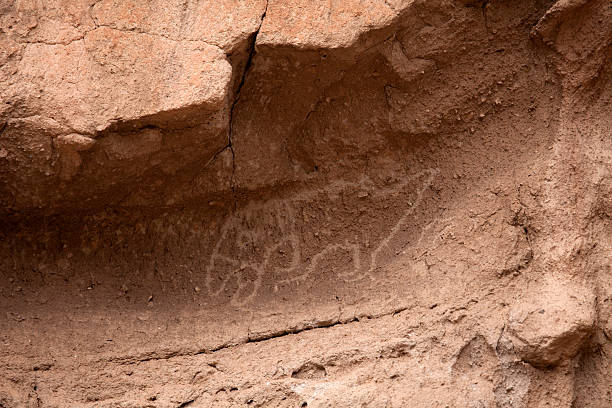
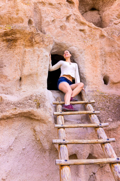
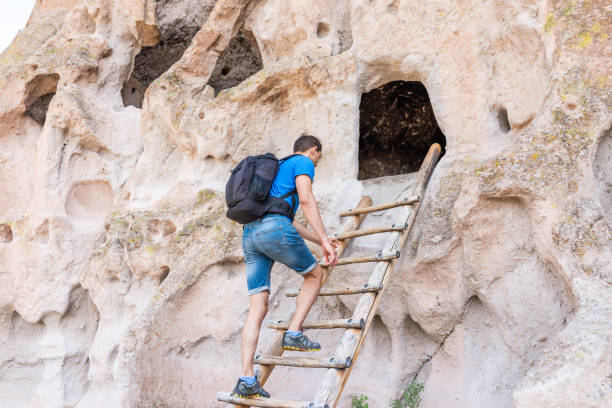
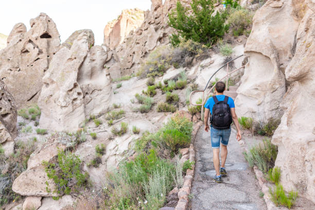
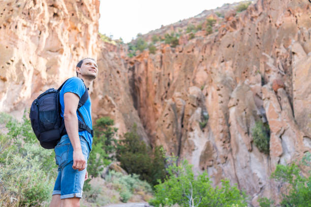
"A large dog sized parrot petroglyph in Bandelier National Monument, New Mexico. Only the very occasional parrot was acquired through trade and the bright-colored feathers were used for ancient puebloan dance costumes."


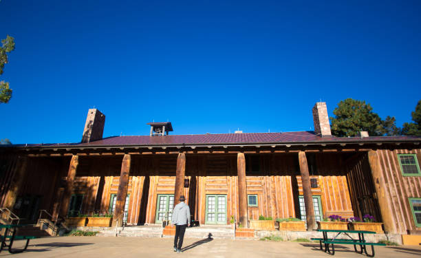
Los Alamos, NM: Man approaches the Fuller Lodge in downtown Los Alamos, where the atomic bomb was developed under the aegis of the Manhattan Project in the 1940s. The Fuller Lodge, now a museum and community center, housed visiting scientists in the 1940s and was designed by architect John Gaw Meem.
Los Alamos, NM, USA - December 7, 2012: U.S. 285 road with overhead sign for Los Alamos in New Mexico
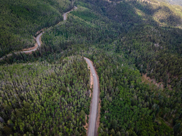
Drone View of winding mountain road in Sangre De Cristo Mountains in the Santa Fe National Forest near Santa Fe, New Mexico in the summer.
The J. Robert Oppenheimer Study Center at Los Alamos National Laboratory is named for the chief scientist who ran the "Manhattan Project" during World War II. The Laboratory is well-known for its role in creating the atomic bomb, which was tested at the Trinity Site in White Sands, New Mexico, then dropped on Hiroshima and Nagasaki, Japan to help end World War II. This particular building on the Laboratory grounds houses research archives.
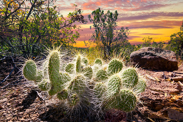
Cactus plant bathed in early morning sunlight in northern New Mexico
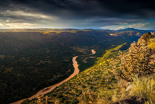
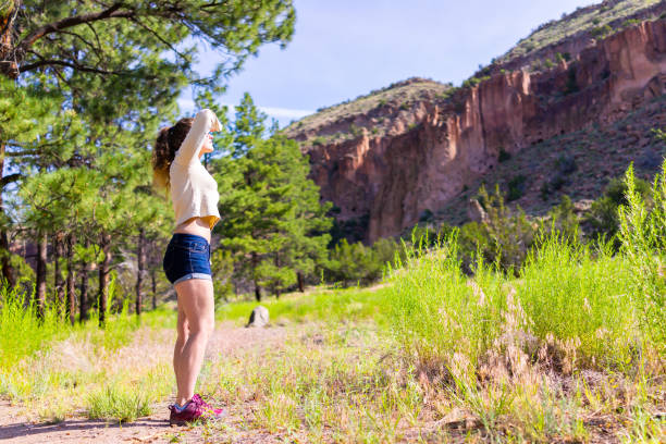
A scenic view in Los Alamos, New Mexico. A rough, mountain terrain shown from a scenic view. A river running through the vast terrain. A sunny day with some clouds above.
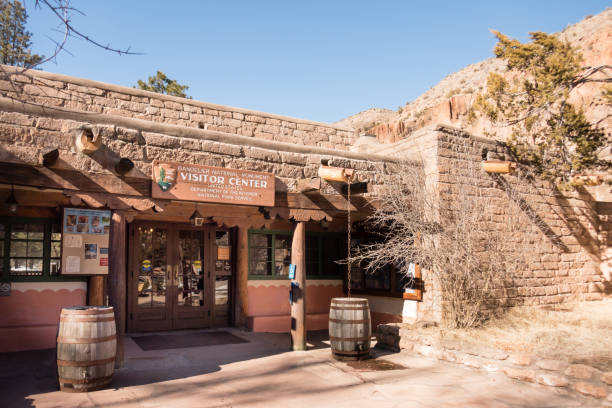
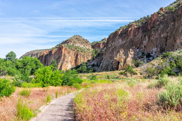
Visitor Center in sunshine with blue sky at Bandelier National Monument, Los Alamos, New Mexico
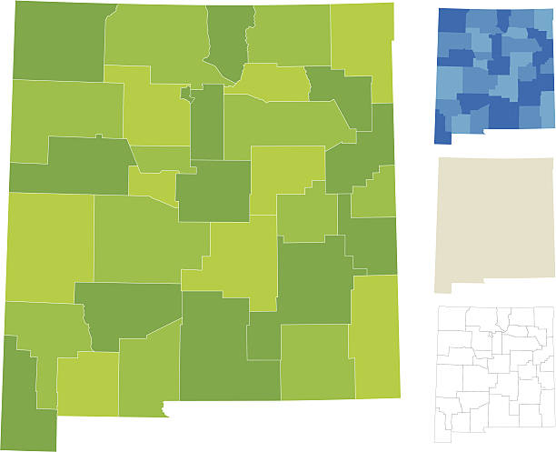
Highly-detailed New Mexico county map. Each county is in a separate labeled layer. All layers have been alphabetized for easy manipulation, recoloring or other use. (see image below -- note: labels only available in AICS2 and AI10 files)
Aerial view of Atalaya Mountain in the Santa Fe National Forest near Santa Fe, New Mexico in the summer.
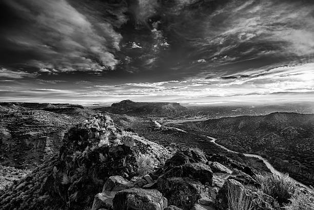
Stunning sunrise at Overlook Point near Bandelier, NM
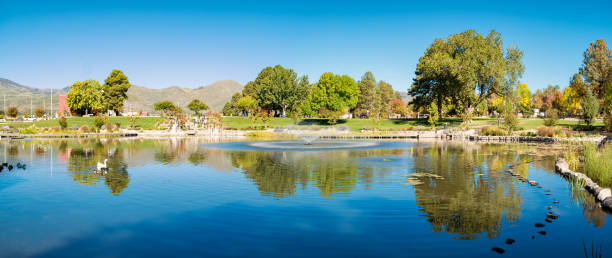
Stock photograph of a pond and park in downtown Los Alamos, New Mexico, USA.
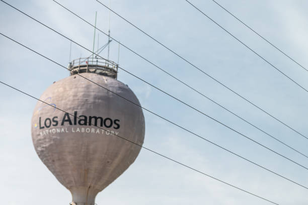
Los Alamos, USA - June 17, 2019: City in New Mexico with view of water tower tank on road with sign for National Laboratory

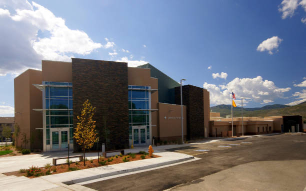
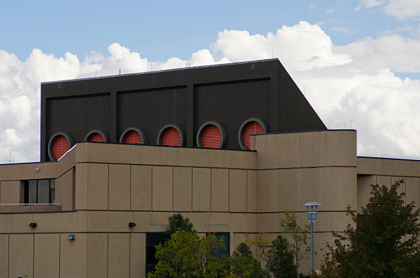
The glass architecture of the National Security Sciences Building at Los Alamos National Laboratory is a great reflector of the coming weather. The Laboratory is well-known for its role in creating the atomic bomb, which was tested at the Trinity Site in White Sands, New Mexico, then dropped on Hiroshima and Nagasaki, Japan to help end World War II. This particular building on the Laboratory grounds houses research archives.
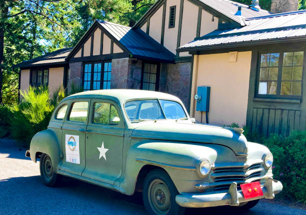
Los Alamos, NM: An antique car outside the Los Alamos History Museum in downtown Los Alamos. The museum is in the former house of Manhattan Project scientist Hans Bethe.
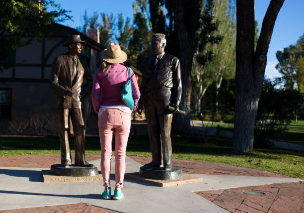
Los Alamos, NM: A tourist looking at bronze statues of J. Robert Oppenheimer and General Groves in downtown Los Alamos, where the atomic bomb was developed in the 1940s.


Los Alamos, NM: A tourist at the Manhattan Project Visitor’s Center in downtown Los Alamos, where the atomic bomb was developed under the aegis of the Manhattan Project in the 1940s.


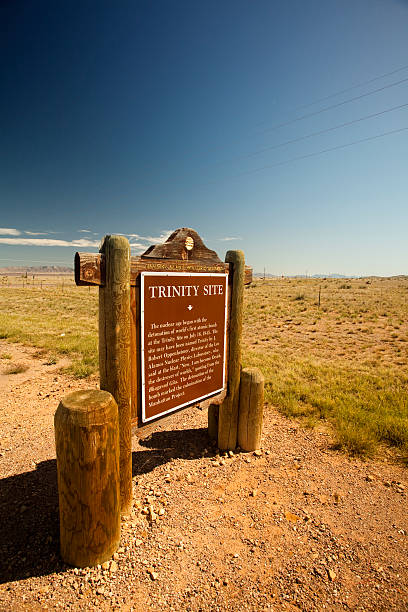
"White Sands Missile Range, New Mexico, USA memorial to the military Manhattan Project"