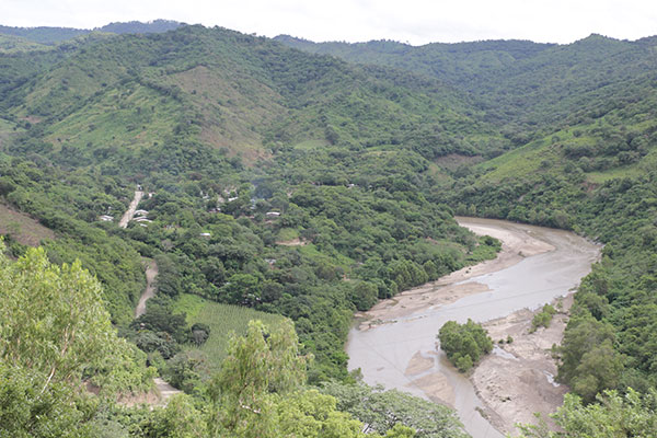
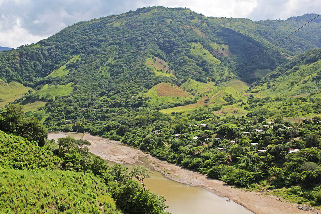
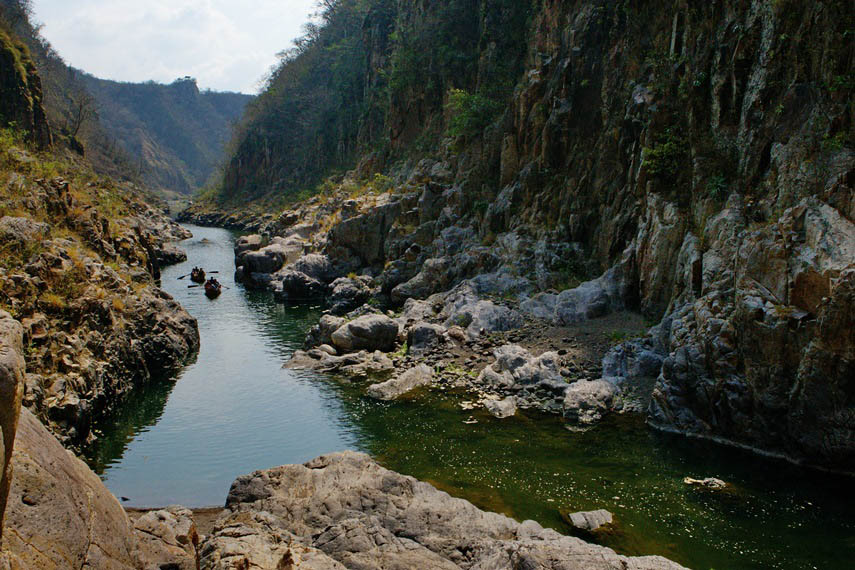
Telpaneca, "passageway of stones", is derived from the Mexican or Chorotegan words "tetlpan", which means place or stony ground and "tecatl" which means town, people or tribe. It has been an important mountain pass because it is located on the banks of the Coco or Wangki River.
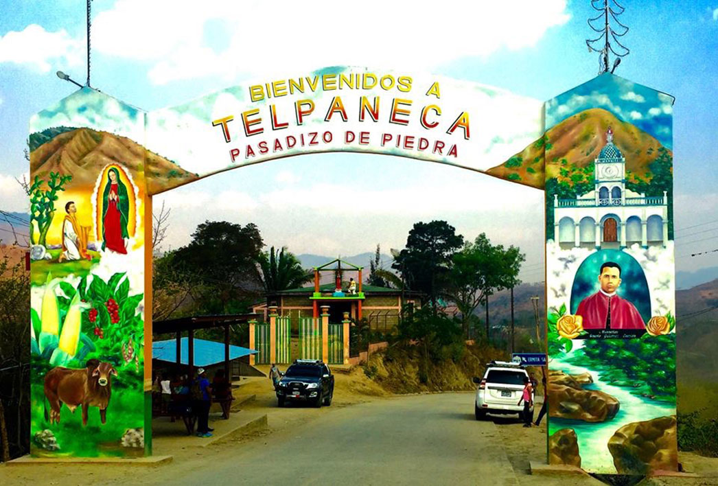
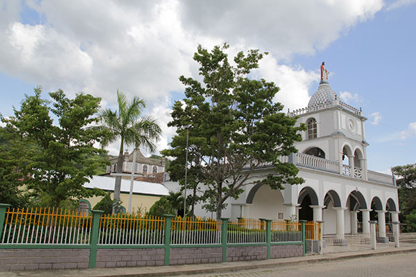
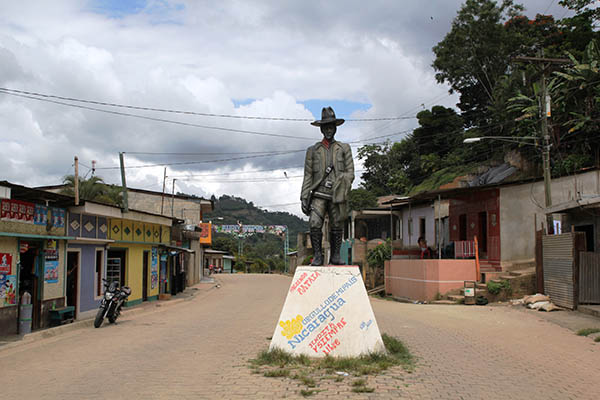
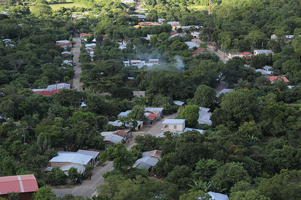
Entrance to Telpaneca
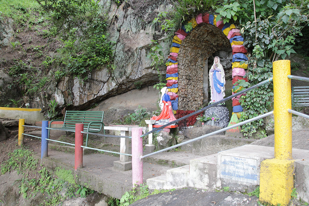
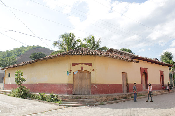
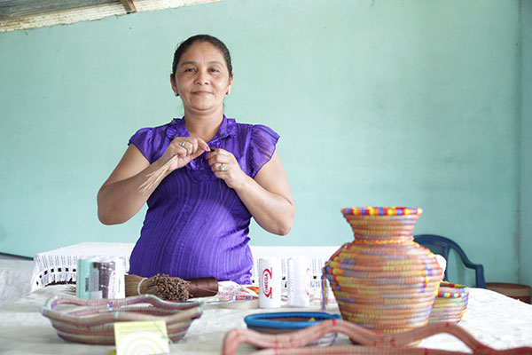
Telpaneca has a history of indigenous resistance and perseverance of its ancestral structure, which maintains active leadership, conservation and revitalization of its history and customs.
The municipality of Telpaneca is 218 kilometers away from Managua, the capital of the country, and 43 kms. de Somoto, departmental head.
It limits to the north with Ciudad Antigua and El Jícaro, to the south with San Sebastián de Yalí and Condega, to the east with San Juan de Río Coco and to the west with Palacagüina and Totogalpa.
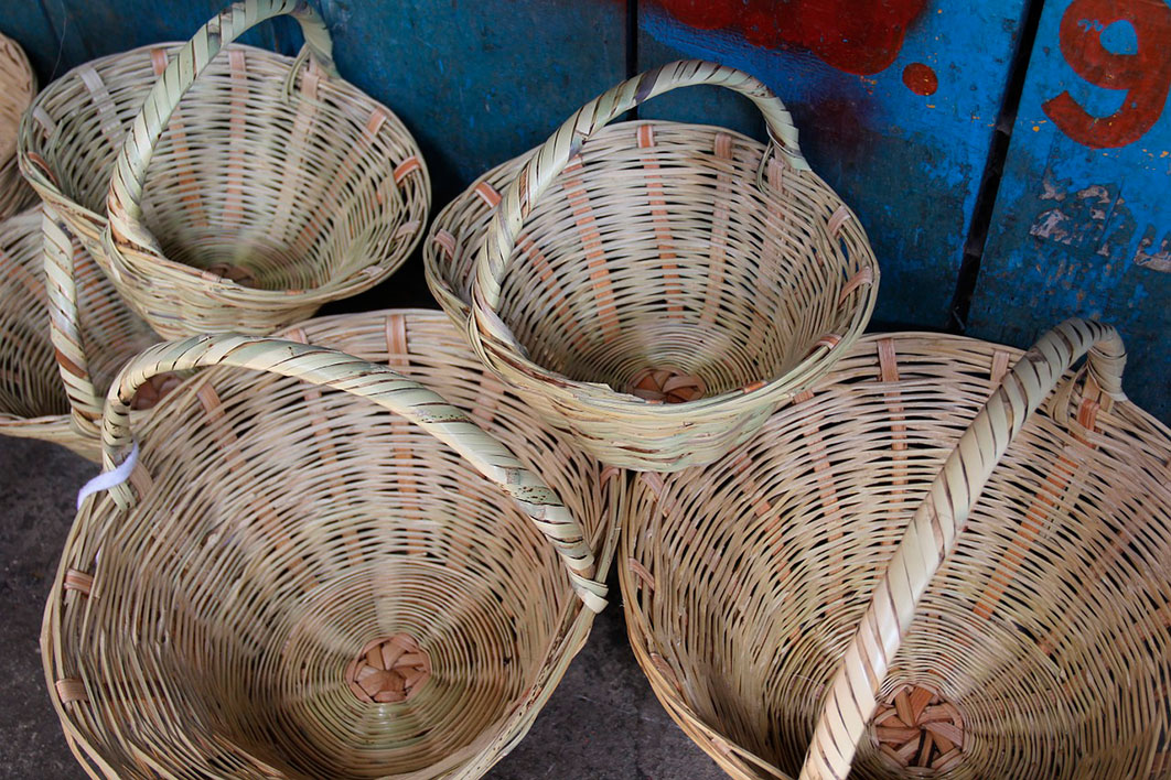
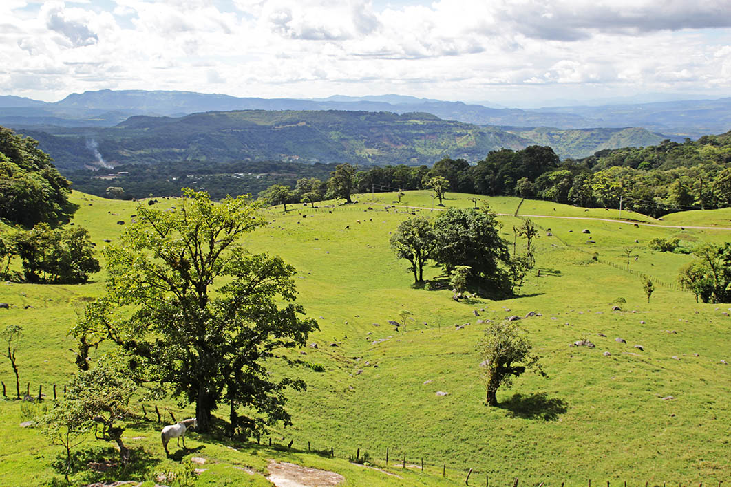
The most important economic activities for the municipality are agriculture, livestock and fishing, all mainly for the population's own consumption.
Basic grains are grown and mostly coffee in mountainous areas. Livestock is on a smaller scale.
Demographic data
Territorial expansion |
Altitude |
Location |
|---|---|---|
| 353.28 km2 | 85.45 masl | 21,892 inhabitants Urbana: 5,119 - Rural: 16,773 |
Address
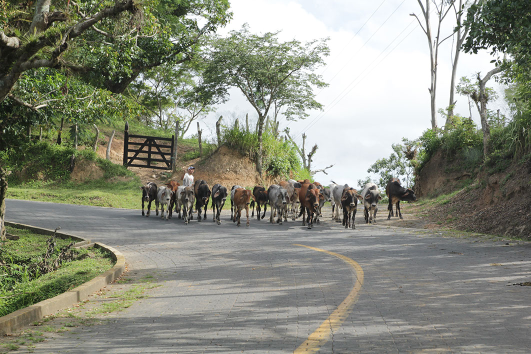
Animal husbandry
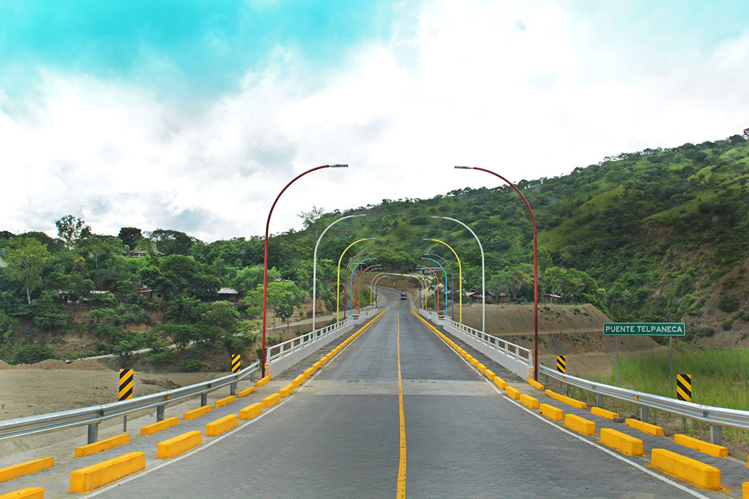
To get there from Managua you must board a bus at the El Mayoreo market terminal to Somoto and at the Empalme de Palacagüina get off and board another bus that goes to San Juan de Río Coco. You must ask the driver to get off at the entrance of Telpaneca.
There are also bus connections from the city of Estelí that go to Quilalí or San Juan de Río Coco and pass through Telpaneca.
By private vehicle you must take the North Pan-American Highway to Sébaco, then continue on the highway to Estelí and Somoto. At the Palacagüina junction, take the road to San Juan de Río Coco until you reach the municipality of Telpaneca.