

Happiness at Hope Cove

This weekend saw the makers of this website down in South Devon attending an excellent tasting with the South West Wine School - and, as it happened to be the perfect winter weather for a walk, we sent for the fabulous short stroll along the South Hams coast, outlined below.
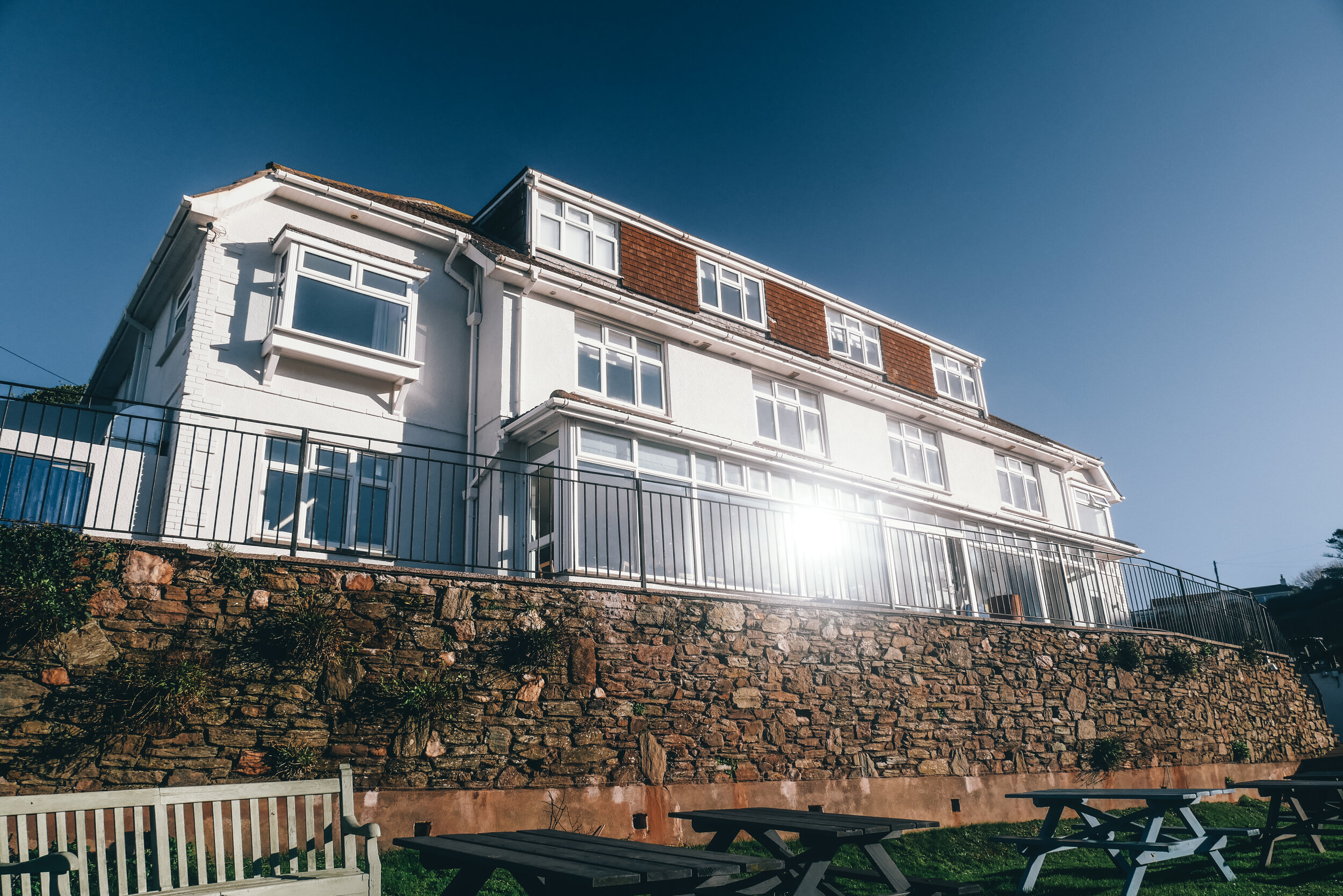
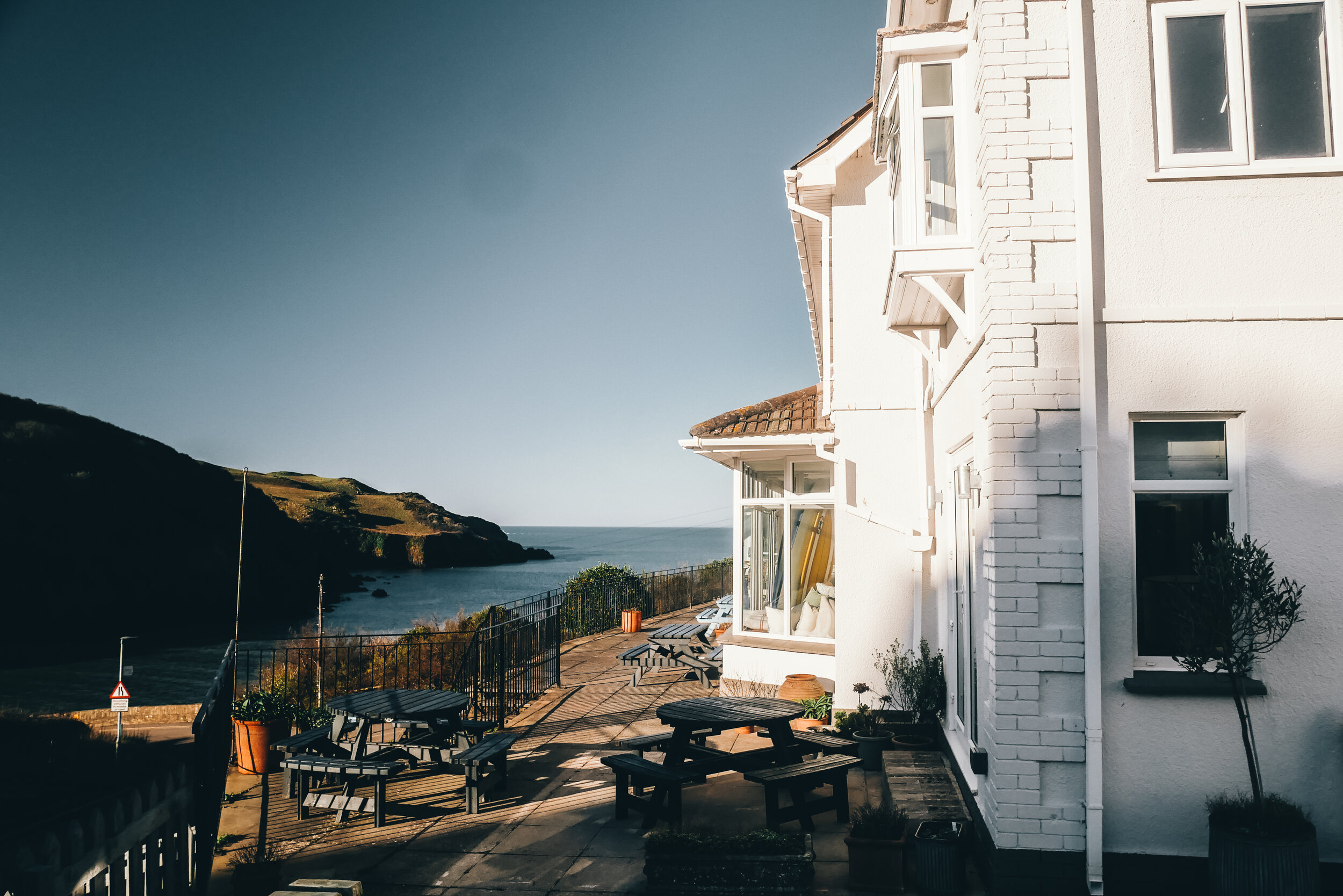
We stayed at the wonderful Hope Cove House which has been given a big make-over by the lovely couple who bought the establishment last year and who were our hosts for the weekend - so thanks to them for giving us such a comfortable room and such an excellent breakfast, which was needed to mop up all that wine from the night before.
By the way, anyone who says they are not up to four and a half miles of up-and-down walking ought to know that I once took two 80-year-olds on this hike, and both completed the stroll with relish. One said she wished she’d worn more suitable gear (she actually carried her handbag around the whole route) but told me she’d worked as a missionary in the depths of the Amazonian jungle for 20 years, so wasn’t in the least bit phased about crossing the airy downs of South Devon.
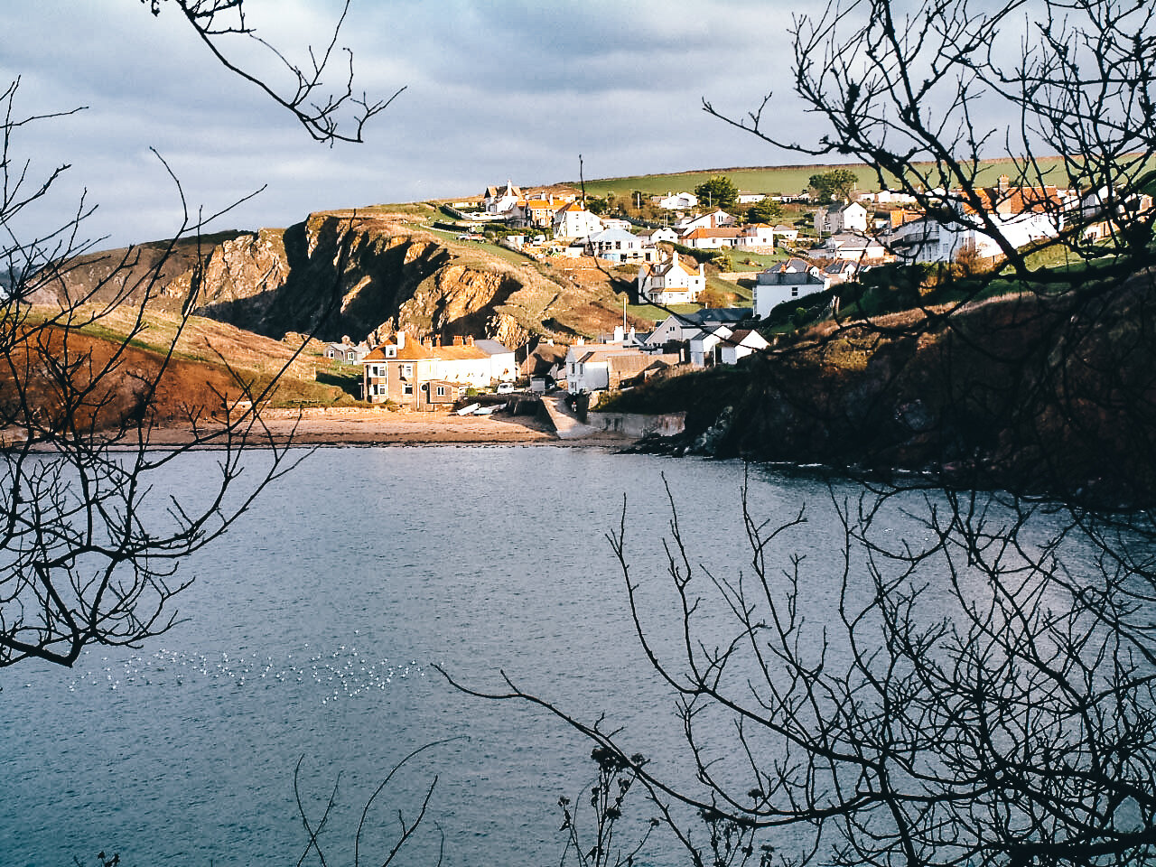
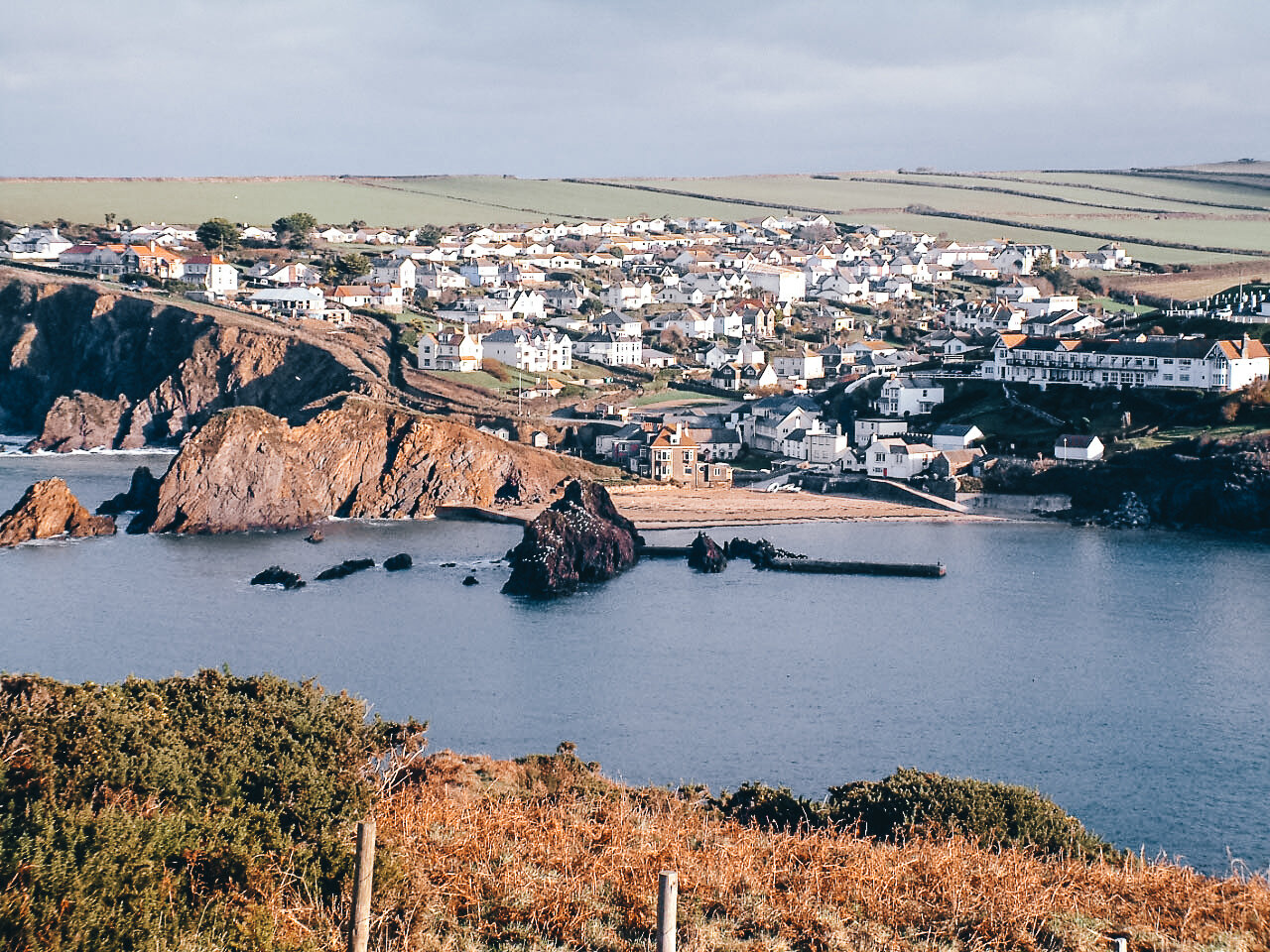
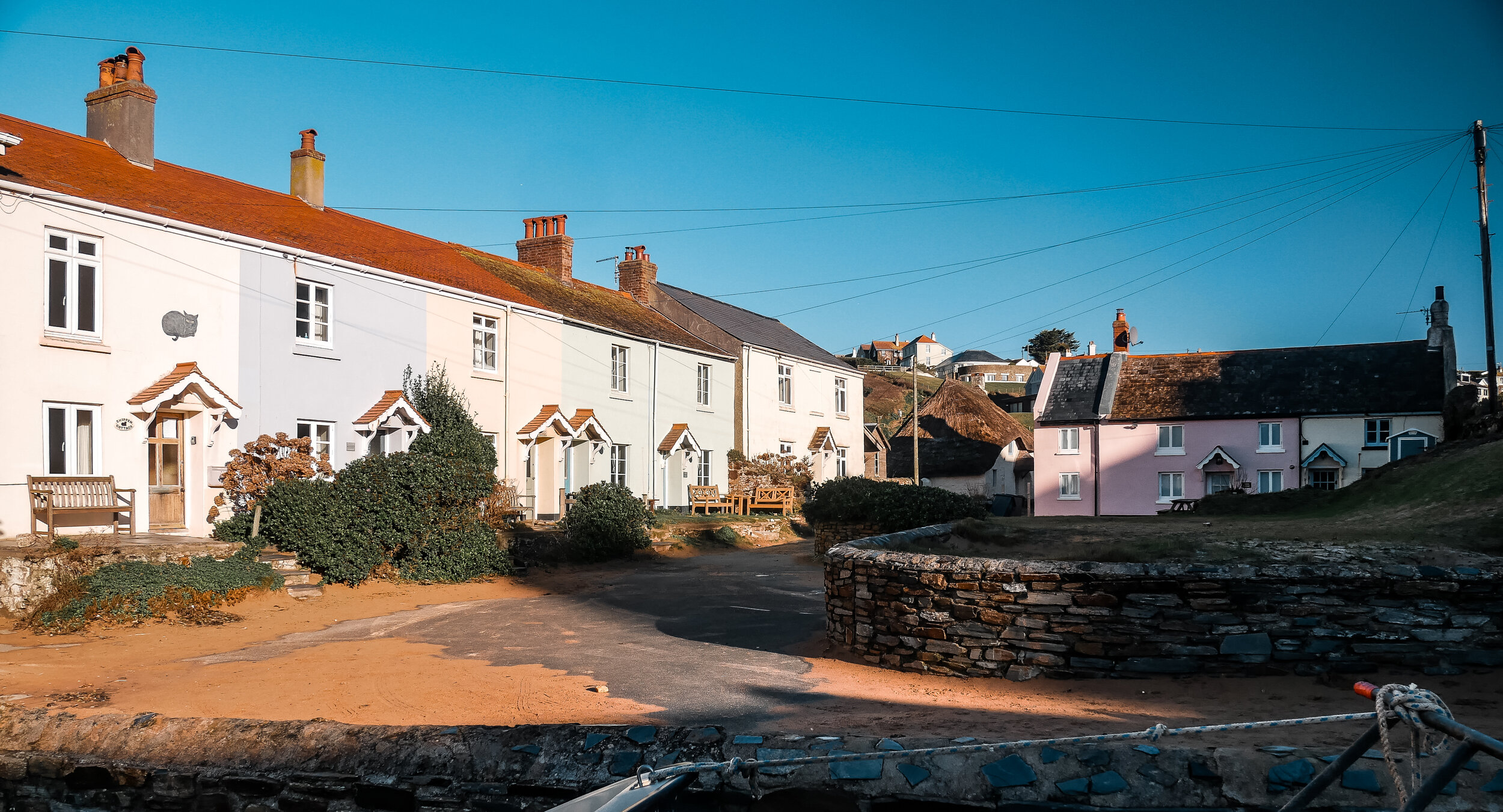
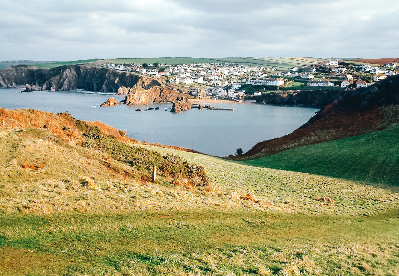
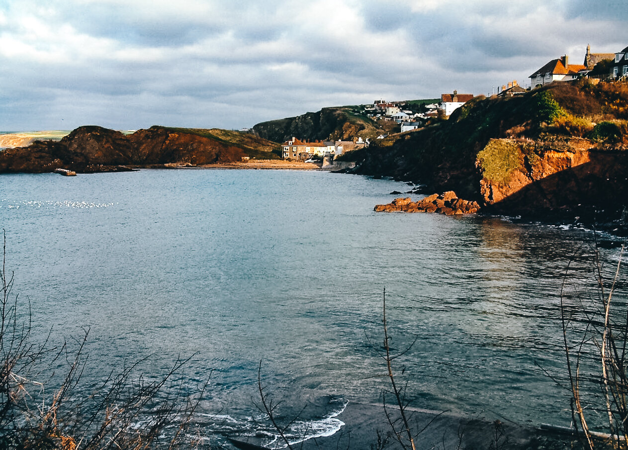
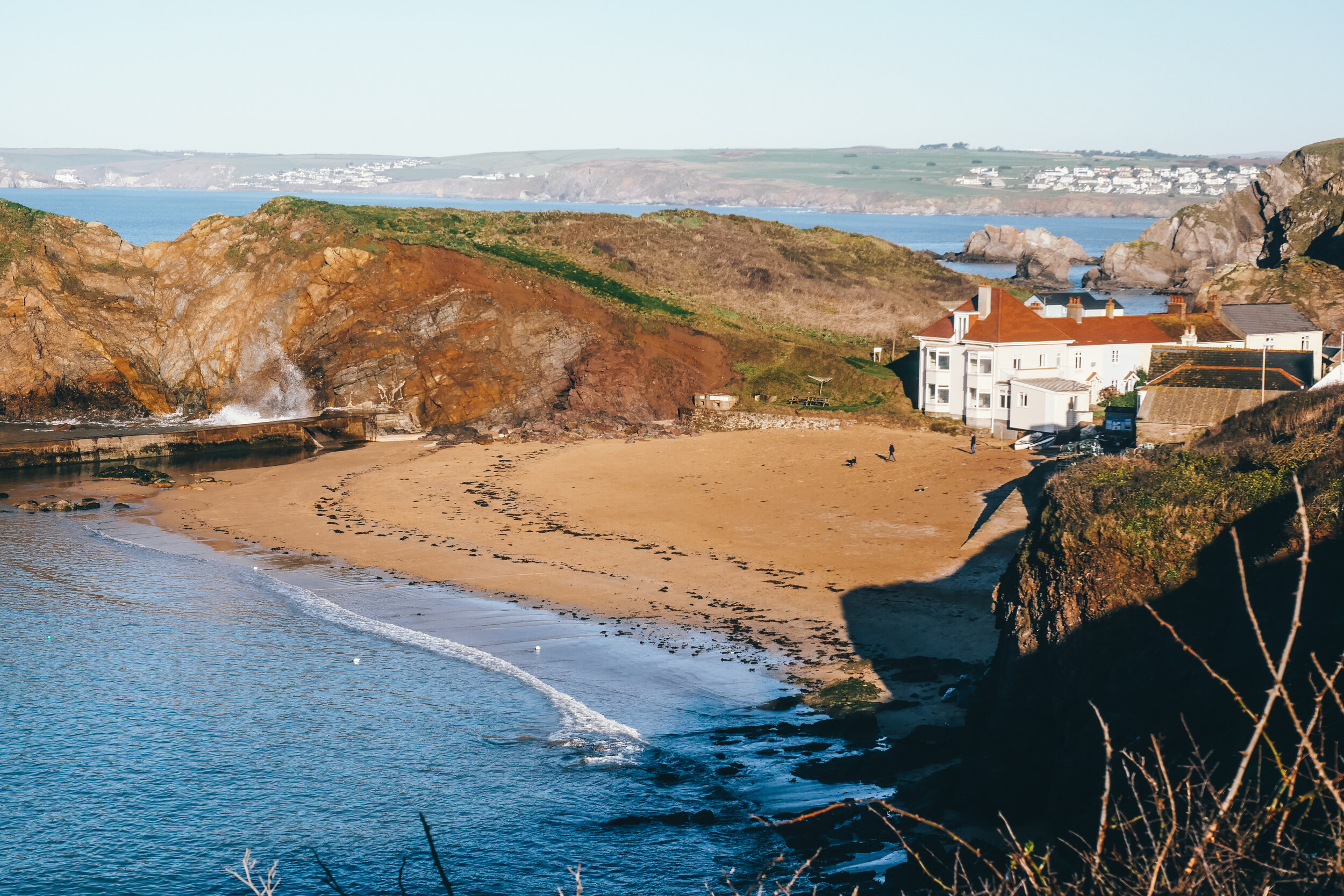
At picture-perfect Hope Cove you have Outer Hope and Inner Hope. The one confusing thing about the two neighbouring communities is their seemingly misplaced names. To me Outer Hope should be Inner Hope, and vice-versa – Outer actually being more Inner in the greater scheme of things if you look at a map.
Anyway, the hotel is located at Inner Hope, which is where the coast path climbs away from the buildings to pass through a small stand of trees on its way out to Bolt Tail.
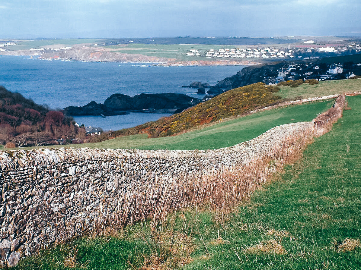
This is a very special bit of littoral walking simply because you do not often get such sweeping westerly views along the south coast. Bolt Tail stands proud like a giant tooth nailed onto the eastern extremity of Bigbury Bay – and as such affords as good a panorama as any cape I know.
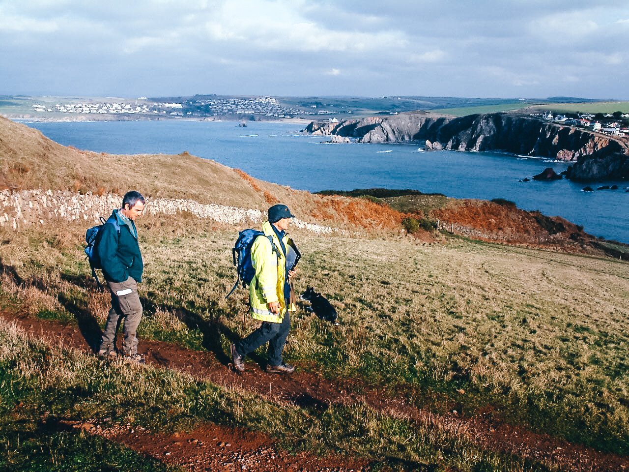
The whole of Bigbury Bay lies before you - but you can see far, far beyond Burgh Island, past the Great Mew Stone, west again beyond the Plymouth ferries to-ing and fro-ing from France and Spain - and on again until that other great headland, The Dodman, seals the horizon with its barren flanks.
So please do not be tempted – as one of my walkers was – to take the short cut up across the field and miss the stroll out to the Tail itself. It may be a bit of a haul but it is well worth the four of five minutes extra walking.
We stood around on the ancient hill fort which crowns the top of the Tail for a while in the warm autumn sunshine before turning south east along the coast path.
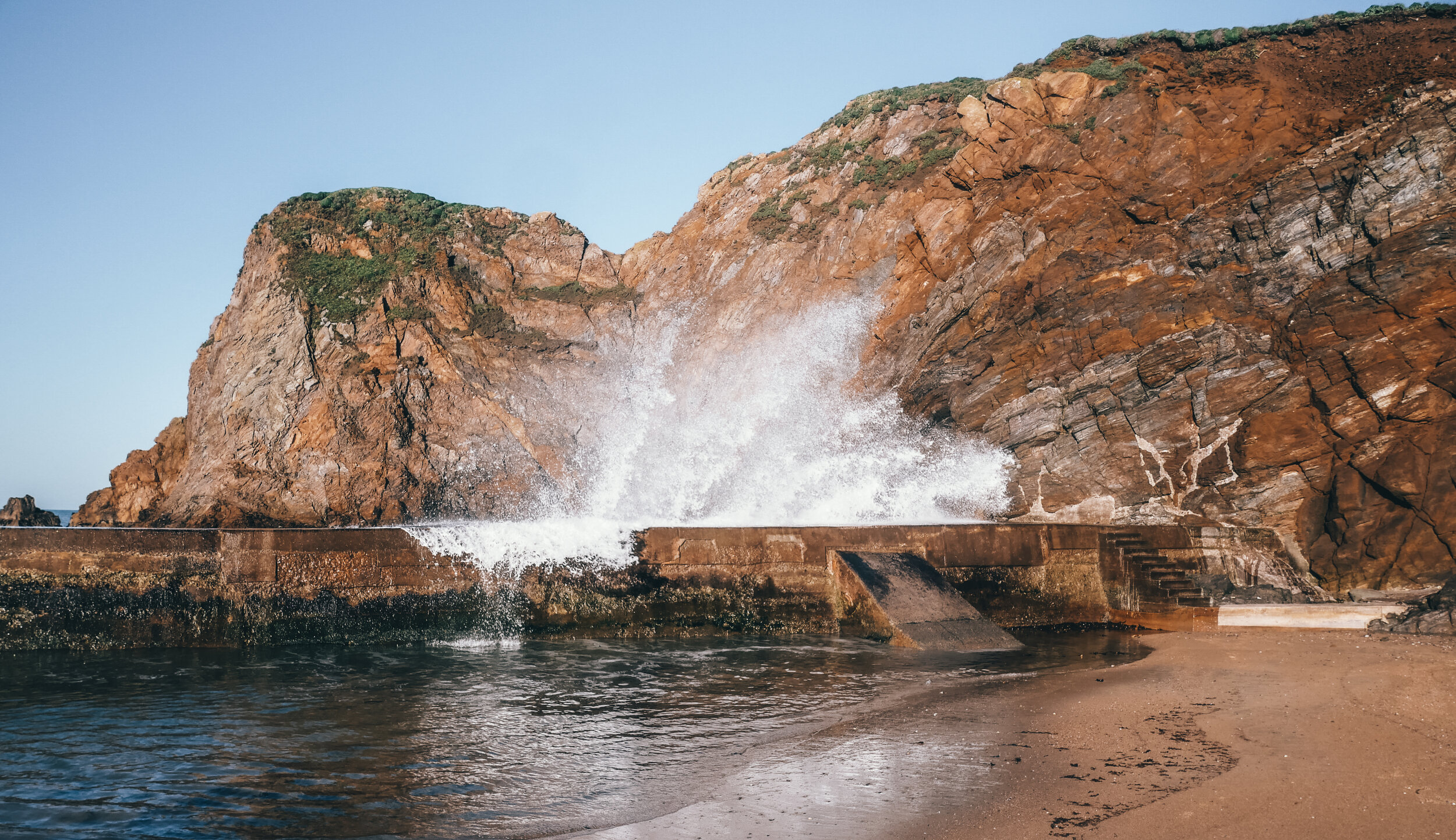
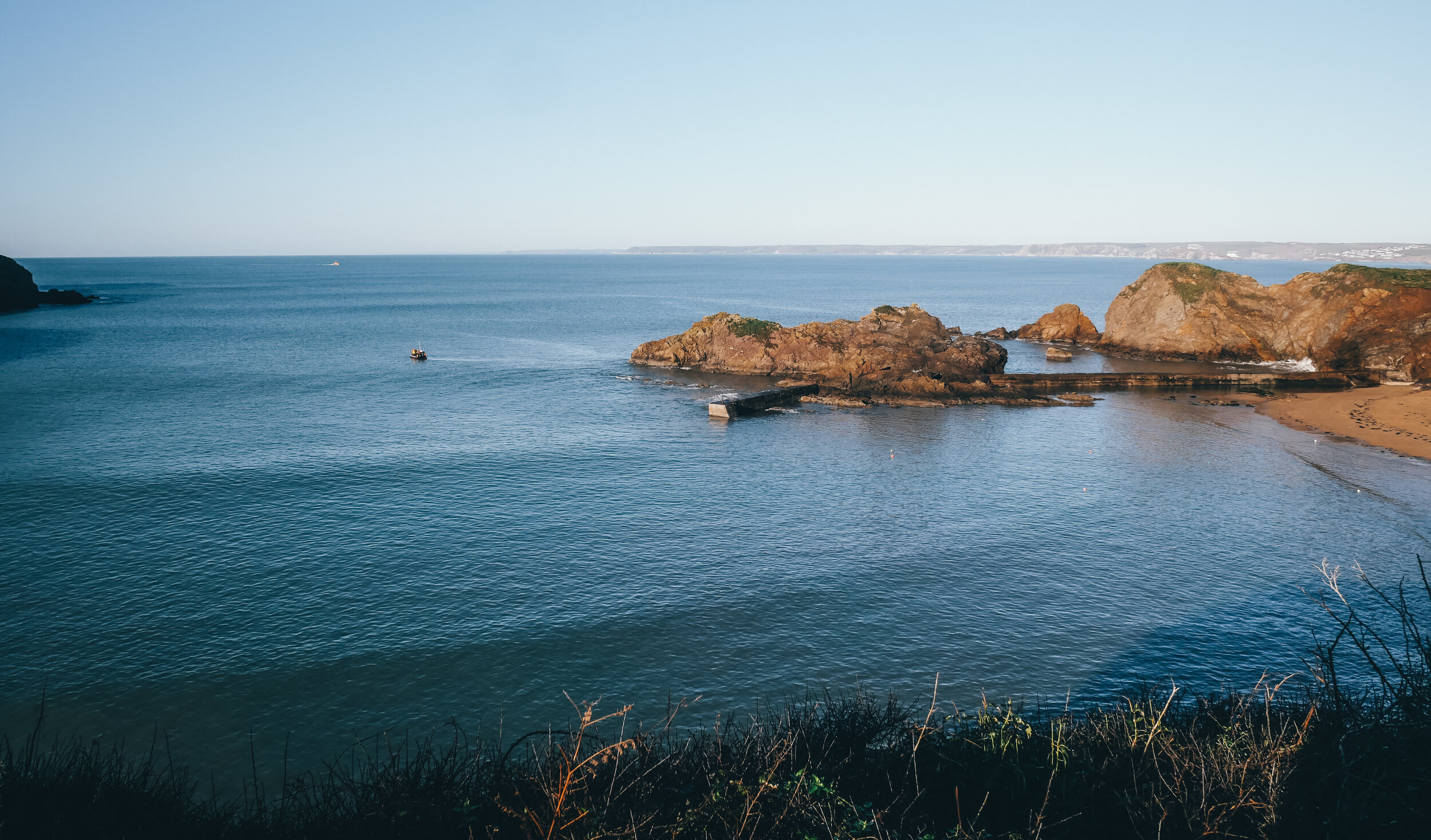
It’s along this section that you can peer down the increasingly tall cliffs to spy the Ramillies – which is a rock named after a doomed ship. The writer SH Burton, in his book South Devon Coast, mentions a place called Ramillies and explains that a boat of that name was wrecked here in the hurricane of February 15th, 1790.
“Her captain mistook Bolt Tail for Rame Head and thought he was being driven into the Sound,” writes Mr Burton. “When the mistake was realised they let go their anchor and, by cutting away all the masts, managed to ride safely until evening. Then the violence of the wind increased and the cable parted. A midshipman and 25 of the crew made a perilous leap from the stern to the rocks that fringe Ramillies Hole, a narrow cleft. They were saved, but the rest, 708 in all, perished.”
Heading south east the coast path climbs for a while until it reaches some 400 feet above the waves, then forgets to do its usual trick of emulating a roller coaster and adheres, instead, to the level confines of the high downs.

View from Bolberry Down
The National Trust has celebrated this unusually flat bit by installing a wheelchair-friendly path so that the less-abled can enjoy the stunning sea views.
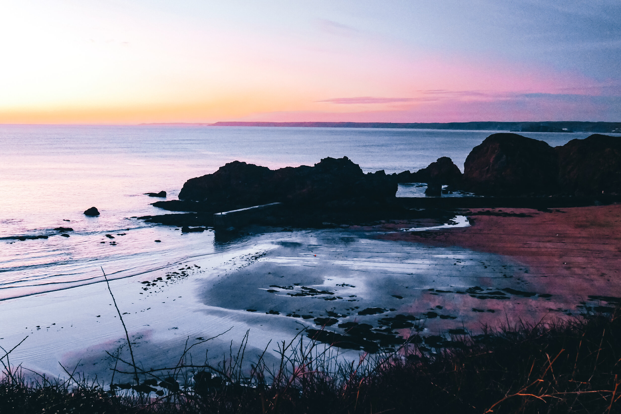
Eventually though, the path is hurled into the abyss. The abyss in question being the valley behind Soar Mill Cove, guarded by the craggy reaches of Cathole Point. It is all very wild and untamed, and picturesque and the cove itself is an absolute jewel – so there was a great temptation for us to walk on down to it.
But my minder from the South Devon AONB team reminded me that this was billed as a two hour walk and that we were already running late – so we headed off inland past the old radio station on the narrow lane that leads down to the hamlet of Bolberry.
At the bottom of the hill we turned left, then immediately right after a few yards – and this took us down into the bottom of the valley past a farm and some cottages, before climbing towards North Bolberry and Higher Barton.
It’s the latter that we’re heading for, and we reach it by ducking down the narrow track called Sweetheart’s Path which you will see on the left-hand apex of a sharp corner. The romantic path crosses a shoulder of land and introduces us to the drive that links North Bolberry to Higher Barton – we turn left and head for the latter, but just before we enter its garden find the public footpath that climbs to our right and takes us up to the very top of the ridge.
Now it’s simply a matter of turning left on the ridge path that leads almost straight down the gently descending hill that terminates where Inner and Outer Hope meet. A perfect and easy walk in perfect walking country – I am indebted to the AONB team for suggesting it.
Fact File
Basic walk: From Outer Hope out to Bolt Tail then east along coast path over Bolberry Down to turn inland at radio masts and head down through hamlet of Bolberry and return along descending ridge.
Recommended map: Ordnance Survey Explorer OL20 South Devon.
Distance and going: just over four miles, fairly gentle climbs, easy going.

Bolberry Down sunset

