

Stefani-Profitis Ilias crossing
Hiking in Mycenae
Stefani-Profitis Ilias crossing

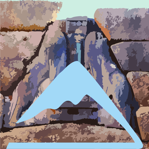
The view form the top of the Profitis Ilias peak
(Click to enlarge).
The view form the top of the Profitis Ilias peak
Crossing the small peak of Profitis Ilias near Stefani is an easy, albeit relatively long hike. The trail goes along the hills located between Mycenaean mountains and the Nyfitsa Mountains.
The route follows a large percentage of roads, but compensates the hiker with the very nice view from the top of Profitis Ilias.
The trail starts from Stefani and follows the series of roads leading to Agios Nikolaos chapel. Then continue on a secondary and unused dirt road, ending at the top of the peak Profitis Ilias. The road serves the small chapel of Profitis Ilias.
The descent of the northern face of the peak follows a combination of goat tracks, some times quite clearly marked on the steep slope, ending into a large plateau, where there are remnants of farming and livestock rearing. A quiet dirt road leads to the main asphalt road.
The return can be done by arrangement with another vehicle or on foot.
Text and photos: T. Adamakopoulos
topoguide Greece
A GUIDE FOR THE TRAVELING
ALONG THE MYCENAEAN LANDSCAPE
The guide Mycenae topoguide is available for Android devices along with dozens of other regions of Greece, within the general application topoguide Greece. Mycenae topoguide is a member of the Pelponnese group. Get Mycenae topoguide as an in-app purchase from the topoguide Greece available regions list.
The Mycenae topoguide guide is also available for iOS devices (iPhone and iPad) through the general hiker application Topoguide Greece. Get Mycenae topoguide as an in-app purchase via the available regions list.
It is very interesting that topoguide Greece has the ability to simultaneously display up to 15 different areas, thus allowing an overall view of the Peloponnese and the easy alternation of hundreds of hiking routes, hundreds of Points of Interest and dozens of pages of the guide with innumerable photos.
