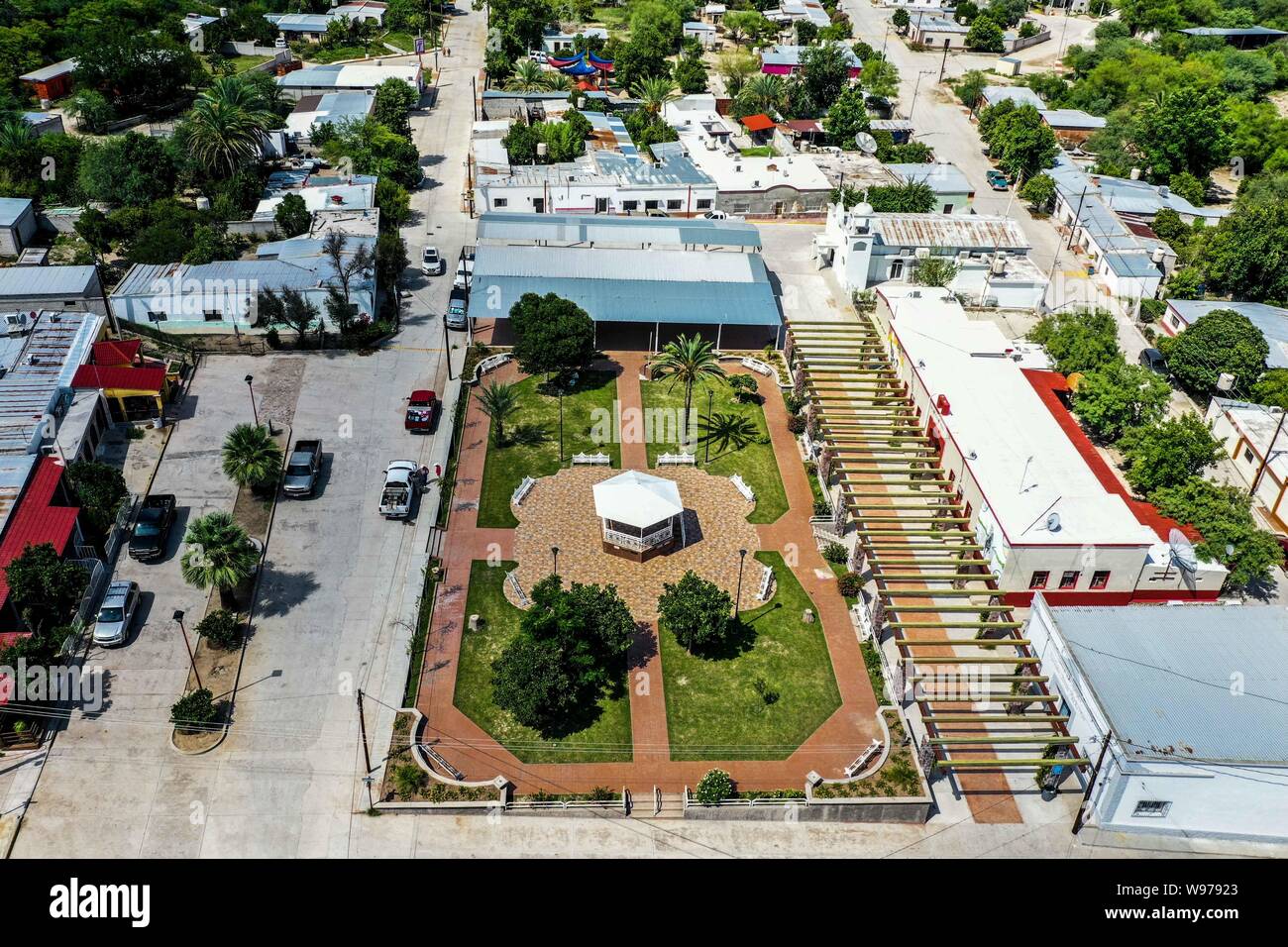
landscape or aerial view of the municipality of San Felipe de Jesús, Sonora, Mexico. located in the basin of the Sonora river. The economic city is agriculture and livestock. its geographical boundaries: Banámichi, Huépac, Aconchi and Opodepe. This municipality was founded in 1657 ...... (Photo: LuisGutierrez / NortePhoto.com) paisaje o vista aera del municipio de San Felipe de Jesús, Sonora, México. ubicado en la cuenca del río Sonora. La ctiuvidad economica es agricultura y ganaderia. sus límites geográficos : Banámichi, Huépac, Aconchi y Opodepe. Este municipio fue fundado en el año 16
Image details
Contributor:
Luis Gutierrez/NortePhoto.com / Alamy Stock PhotoImage ID:
W97923File size:
53.1 MB (2.3 MB Compressed download)Releases:
Model - no | Property - noDo I need a release?Dimensions:
5277 x 3518 px | 44.7 x 29.8 cm | 17.6 x 11.7 inches | 300dpiDate taken:
4 August 2019More information:
This image could have imperfections as it’s either historical or reportage.
landscape or aerial view of the municipality of San Felipe de Jesús, Sonora, Mexico. located in the basin of the Sonora river. The economic city is agriculture and livestock. its geographical boundaries: Banámichi, Huépac, Aconchi and Opodepe. This municipality was founded in 1657 ...... (Photo: LuisGutierrez / NortePhoto.com) paisaje o vista aera del municipio de San Felipe de Jesús, Sonora, México. ubicado en la cuenca del río Sonora. La ctiuvidad economica es agricultura y ganaderia. sus límites geográficos : Banámichi, Huépac, Aconchi y Opodepe. Este municipio fue fundado en el año 1657...... (Photo: LuisGutierrez/NortePhoto.com)